
 United Kingdom
 France
 Germany
 Netherlands
 Sweden
 USA
USA
 Italy
Italy
 Spain
Spain
More From Contributor


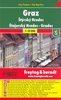


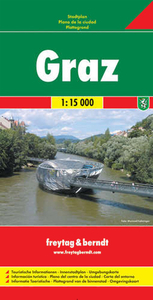
Graz Freytag & Berndt Map
Freytag and Berndt, Austria`s leading map publishers, produce a series of street plans covering the country`s main cities. All the plans are indexed and show public transport system. Plans of cities in the mountainous parts of the country are contoured to indicate the terrain. Most plans have enlargements showing the town centre in greater detail. Some plans include a black and white map of the city overprinted with cycle routes. Map legend includes English.This map covers a large area, extending out to the city boundary. Railway, tram and bus lines are marked and pedestrian zones, places of interest and notable public buildings are highlighted. Street numbers are also included, at intervals, on the map. As well as the town centre enlargement, there is a 1:100, 000 road map showing
Graz and surroundings.The index booklet includes notes, in English, on local places of interest.
Graz and surroundings.The index booklet includes notes, in English, on local places of interest.

Product Description
Reviews/Comments
Add New
Intelligent Comparison
Archived Product
Linz Freytag & Berndt Map Stanfords
£9.99
Archived Product

Elba Freytag & Berndt Map Stanfords
£4.99
Archived Product
Milan Freytag & Berndt Map Stanfords
£9.99
Archived Product
Dresden Freytag & Berndt Map Stanfords
£9.99
Archived Product
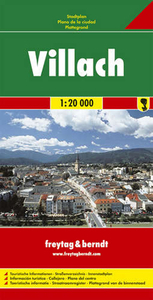
Villach Freytag & Berndt Map Stanfords
£9.99
Archived Product
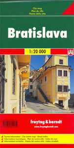
Bratislava Freytag & Berndt Map Stanfords
£9.99
Archived Product

Rügen Freytag & Berndt Map Stanfords
£9.99
Archived Product
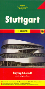
Stuttgart Freytag & Berndt Map Stanfords
£9.99
Vouchers
No voucher codes found.
Do you know a voucher code for this product or supplier? Add it to Insights for others to use.
Do you know a voucher code for this product or supplier? Add it to Insights for others to use.
 Denmark