
 United Kingdom
 France
 Germany
 Netherlands
 Sweden
 USA
USA
 Italy
Italy
 Spain
Spain
More From Contributor


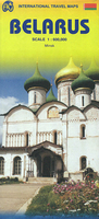
Belarus
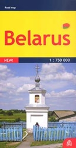
Double-sided road map of the country with hill shading and elevation tinting to represent the relief. Intermediate driving distances on many roads are marked and railways and navigable canals are shown. Symbols denote airports, border crossing points, churches, castles and selected sites of interest. Regional boundaries, national parks and swamp areas are marked. Latitude and longitude lines are drawn at 1
Product Description
Reviews/Comments
Add New
Intelligent Comparison
Archived Product
Belarus Stanfords
£6.50
Archived Product
Belarus Stanfords
£11.99
Archived Product
Belarus Stanfords
£6.50
Archived Product
Belarus Stanfords
£20.00
Archived Product
Belarus F&B Stanfords
£10.99
Archived Product
Belarus ITMB Stanfords
£9.99
Archived Product
Belfast Stanfords
£6.50
Archived Product

Belfast Stanfords
£6.30
Vouchers
No voucher codes found.
Do you know a voucher code for this product or supplier? Add it to Insights for others to use.
Do you know a voucher code for this product or supplier? Add it to Insights for others to use.
 Denmark