
 United Kingdom
 France
 Germany
 Netherlands
 Sweden
 USA
USA
 Italy
Italy
 Spain
Spain
More From Contributor


Weston East 1902
Weston East in 1902 in a fascinating series of reproductions of old Ordnance Survey plans in the Alan Godfrey Editions, ideal for anyone interested in the history of their neighbourhood or family. The map covers the eastern part of Weston-super-Mare, extending east and north to Baytree Farm and Home Farm in Milton. Features include the GWR station, goods station, engine shed, St Saviour`s church, Victoria Hall, cemetery, Manor Farm, Landemann Circus, Ashcombe, The Lodge, tramway and depot. The Weston Clevedon & Portishead Light Railway is shown between Weston and Milton Road. On the reverse is a list of private residents, entries H-Y. The map links up with Sheet 9.15 for Weston-super-Mare to the west.About the Alan Godfrey Editions of the 25” OS SeriesSelected towns in Great
Britain and Ireland are covered by maps showing the extent of urban development in the last decades of the 19th and early 20th century. The plans have been taken from the Ordnance Survey mapping and reprinted at about 15 inches to one mile (1:4, 340). On the reverse most maps have historical notes and many also include extracts from contemporary directories. Most maps cover about one mile (1.6kms) north/south, one and a half miles (2.4kms) across; adjoining sheets can be combined to provide wider coverage.FOR MORE INFORMATION AND A COMPLETE LIST OF ALL AVAILABLE TITLES PLEASE CLICK ON THE SERIES LINK.
Britain and Ireland are covered by maps showing the extent of urban development in the last decades of the 19th and early 20th century. The plans have been taken from the Ordnance Survey mapping and reprinted at about 15 inches to one mile (1:4, 340). On the reverse most maps have historical notes and many also include extracts from contemporary directories. Most maps cover about one mile (1.6kms) north/south, one and a half miles (2.4kms) across; adjoining sheets can be combined to provide wider coverage.FOR MORE INFORMATION AND A COMPLETE LIST OF ALL AVAILABLE TITLES PLEASE CLICK ON THE SERIES LINK.

Product Description
Reviews/Comments
Add New
Intelligent Comparison
Archived Product

Belfast East 1902 Stanfords
£3.50
Archived Product
Bolton East 1908 Stanfords
£2.95
Archived Product
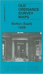
Bolton East 1908 Stanfords
£3.50
Archived Product
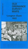
Longton East 1922 Stanfords
£3.50
Archived Product

Preston West 1909 Stanfords
£3.50
Archived Product
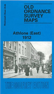
Athlone East 1912 Stanfords
£3.50
Archived Product
Poynton East 1907 Stanfords
£2.95
Archived Product

Poynton East 1907 Stanfords
£3.50
Vouchers
No voucher codes found.
Do you know a voucher code for this product or supplier? Add it to Insights for others to use.
Do you know a voucher code for this product or supplier? Add it to Insights for others to use.
 Denmark