
 United Kingdom
 France
 Germany
 Netherlands
 Sweden
 USA
USA
 Italy
Italy
 Spain
Spain
More From Contributor


Poynton East 1907
Poynton East in 1907 in a fascinating series of reproductions of old Ordnance Survey plans in the Alan Godfrey Editions, ideal for anyone interested in the history of their neighbourhood or family. Selected towns in Great Britain and Ireland are covered by maps showing the extent of urban development in the last decades of the 19th and early 20th century.In this title: the map covers a semi-rural mining area east of Poynton, stretching from Claytonfold and Petre Bank eastward to Middlecale Farm and northward to New House Farm. Features include Lady Pit with colliery railway, Lower Vernon Pit (disused), Anson Pit, Nelson Pit (disused), Horsepasture Pit, Park & Lawrence Pits, a stretch of the GCR and North Staffordshire Joint Railway, colliery lines, Poynton station, Middlewood
station (at extreme top of map), High Lane Colliery, Worth Hall Farm, Macclesfield Canal. On the reverse is a directory of Poynton, plus a timetable for the Stockport-Buxton-Parsley Hay line. About the Alan Godfrey Editions of the 25
station (at extreme top of map), High Lane Colliery, Worth Hall Farm, Macclesfield Canal. On the reverse is a directory of Poynton, plus a timetable for the Stockport-Buxton-Parsley Hay line. About the Alan Godfrey Editions of the 25
Product Description
Reviews/Comments
Add New
Intelligent Comparison
Archived Product

Poynton East 1907 Stanfords
£3.50
Archived Product
Bolton East 1908 Stanfords
£2.95
Archived Product
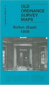
Bolton East 1908 Stanfords
£3.50
Archived Product
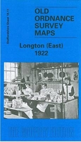
Longton East 1922 Stanfords
£3.50
Archived Product

Poynton West 1896 Stanfords
£3.50
Archived Product
Weston East 1902 Stanfords
£3.50
Vouchers
No voucher codes found.
Do you know a voucher code for this product or supplier? Add it to Insights for others to use.
Do you know a voucher code for this product or supplier? Add it to Insights for others to use.
 Denmark