
 United Kingdom
 France
 Germany
 Netherlands
 Sweden
 USA
USA
 Italy
Italy
 Spain
Spain
More From Contributor


Tunisia
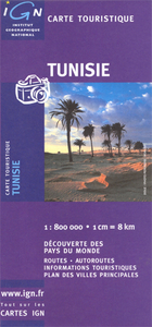
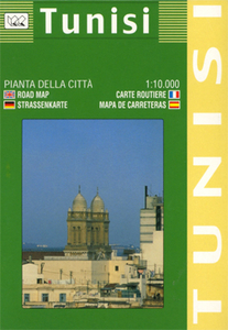
General road maps with street plans of Tunis, Kairouan, and Sousse, and an enlargement for Jerba Island. Topography is indicated by relief shading and spot heights. The map shows railways and road network with secondary and minor roads. Places of interest are highlighted. The prohibited zone in the southern tip of the country is clearly marked. The map includes a large part of north-eastern Algeria, up to approx. 6º30’, with the same information as for Tunisia. Latitude/longitude grid is at 30’ intervals. Multilingual legend includes English.The map also includes a street plan of substantial part of Tunis, with the historic centre and the surrounding areas, plus plans of Kairouan and Sousse. An enlargement shows Ile de Jerba at 1:250, 000.

Product Description
Reviews/Comments
Add New
Intelligent Comparison
Archived Product
Tunisia Stanfords
£5.99
Archived Product
Tunisia Stanfords
£9.50
Archived Product
Tunisia Stanfords
£11.99
Archived Product
Tunisia Stanfords
£11.99
Archived Product
Tunis Stanfords
£8.95
Archived Product
Tunis Stanfords
£9.99
Archived Product
Tunis Stanfords
£10.99
Archived Product

Tunisia F&B Stanfords
£10.99
Vouchers
No voucher codes found.
Do you know a voucher code for this product or supplier? Add it to Insights for others to use.
Do you know a voucher code for this product or supplier? Add it to Insights for others to use.
 Denmark