
 United Kingdom
 France
 Germany
 Netherlands
 Sweden
 USA
USA
 Italy
Italy
 Spain
Spain
More From Contributor


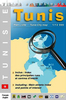
Tunis
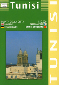
Large indexed street plan, with a detailed enlargement for the central area and a general map of the city’s environs. The main map at 1:10, 000 covers the main section of the city from the port and the El Jallaz cemetery in the south-east to Le Bardo district in the west and El Menzah district in the north. Markets, notable buildings and hotels are highlighted, and the metro lines and stations are included. Symbols depict mosques, museums, monuments, hostels, car parks, hospitals, post offices, etc.On the reverse are three more maps: a larger scale plan at 1:5, 000 concentrating on the old city centre and the surrounding streets, a plan of the metro system, and a general map at 1:100, 000 showing the main districts and roads of the whole city. All the maps are indexed. Map
legend includes English.
legend includes English.

Product Description
Reviews/Comments
Add New
Vouchers
No voucher codes found.
Do you know a voucher code for this product or supplier? Add it to Insights for others to use.
Do you know a voucher code for this product or supplier? Add it to Insights for others to use.
 Denmark