
 United Kingdom
 France
 Germany
 Netherlands
 Sweden
 USA
USA
 Italy
Italy
 Spain
Spain
More From Contributor


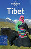
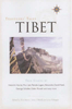


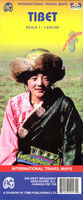
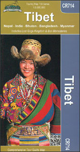
Tibet
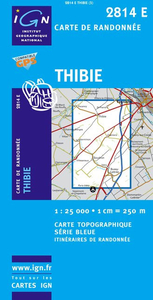
Tibet at 1:1, 500, 000 with the Lhasa Valley at 1:50, 000 on light, waterproof and tear-resistant plastic paper, with both topographic and tourist information. The map, part of Reise Know-How's highly acclaimed World Mapping Project is double-sided, to provide the best balance between a good scale and a convenient size sheet.Topography is indicated by altitude colouring with numerous spot heights and names of mountain ranges and passes. Salt lakes, swamps, seasonal rivers and glacier are also shown. Detailed presentation of the road network includes minor roads and tracks. Railway connection to Lhasa is also shown. Internal administrative units are shown with their boundaries and names. National parks and other protected areas are highlighted. A wide range of symbols mark various
places of interest including sacred places, palaces, dzongs, archaeological sites, temples, museums, etc. Latitude and longitude lines are drawn at 1
places of interest including sacred places, palaces, dzongs, archaeological sites, temples, museums, etc. Latitude and longitude lines are drawn at 1
Product Description
Reviews/Comments
Add New
Intelligent Comparison
Archived Product
Tibet Stanfords
£9.95
Archived Product
Tibet Stanfords
£9.50
Archived Product

Tibet Stanfords
£13.59
Archived Product
Tibet Stanfords
£13.99
Archived Product
Tibet Stanfords
£17.99
Archived Product
Tibet Stanfords
£10.50
Archived Product

Tribe Stanfords
£8.99
Archived Product
Thibie Stanfords
£11.50
Vouchers
No voucher codes found.
Do you know a voucher code for this product or supplier? Add it to Insights for others to use.
Do you know a voucher code for this product or supplier? Add it to Insights for others to use.
 Denmark