
 United Kingdom
 France
 Germany
 Netherlands
 Sweden
 USA
USA
 Italy
Italy
 Spain
Spain
More From Contributor


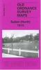
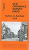


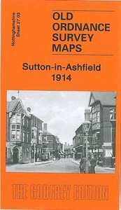
Sutton-in-Ashfield 1914
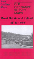
Sutton-in-Ashfield in 1914 in a fascinating series of reproductions of old Ordnance Survey plans in the Alan Godfrey Editions, ideal for anyone interested in the history of their neighbourhood or family. Selected towns in Great Britain and Ireland are covered by maps showing the extent of urban development in the last decades of the 19th and early 20th century.In this title: the map covers the central, northern and eastern parts of Sutton in Ashfield, with coverage stretching from Albert Square northward to Forest Road and eastward to Coxmoor Road. Features include GNR railway with station, tramways, St Mary Magdalen church, Colliery Houses, Portland Square, New Cross area, Deepdale area, Skegby Forest, quarries, Sutton Forest Side area, The Old Mill, Dalestorth Brick Works,
St Michael & All Angels church, Sutton Grange etc. On the reverse is a directory of Sutton in Ashfield in 1891. About the Alan Godfrey Editions of the 25
St Michael & All Angels church, Sutton Grange etc. On the reverse is a directory of Sutton in Ashfield in 1891. About the Alan Godfrey Editions of the 25

Product Description
Reviews/Comments
Add New
Intelligent Comparison
Archived Product
Sutton-in-Ashfield 1914 Stanfords
£3.50
Vouchers
No voucher codes found.
Do you know a voucher code for this product or supplier? Add it to Insights for others to use.
Do you know a voucher code for this product or supplier? Add it to Insights for others to use.
 Denmark