
 United Kingdom
 France
 Germany
 Netherlands
 Sweden
 USA
USA
 Italy
Italy
 Spain
Spain
More From Contributor


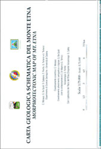
Mount Etna Morphotectonic Map
Morphotectonic map of the Mount Etna area at 1:75, 000 published by Litografia Artistica Cartografica and prepared by the Geology Department of the University of Catania. Extensive text explaining the use of colours and symbols on the map is in Italian and English. The base map has contours at 50m intervals and shows local towns and villages, including Catania, with the network of connecting roads and tracks. The map also includes a cross-section profile of Mount Etna showing different vents and an inset with a physical map of the area.

Product Description
Reviews/Comments
Add New
Vouchers
No voucher codes found.
Do you know a voucher code for this product or supplier? Add it to Insights for others to use.
Do you know a voucher code for this product or supplier? Add it to Insights for others to use.
 Denmark