
 United Kingdom
 France
 Germany
 Netherlands
 Sweden
 USA
USA
 Italy
Italy
 Spain
Spain
More From Contributor


China Central
Central China at 1:1, 500, 000 in a series of four double-sided maps from Nelles, each in a convenient format for use when travelling. The maps include street plans of main cities and/or enlargements of their environs or other popular tourist areas.The maps present road and rail networks on a base with topography indicated by relief shading with names of mountain ranges and peaks plus additional spot heights. Local airports are marked and the maps also show internal administrative boundaries with names of the provinces.Places of interest, including historical sights, beaches, national parks or protected area, etc. are highlighted both on the main map and on the accompanying street plans or enlargements. All place names are shown in Latin alphabet only. The maps are not indexed. Map
legend includes English.In this title: a street plan of central Shanghai, plan of the Hangzhou West Lake area, plus an enlargement of the environs of Shanghai.
legend includes English.In this title: a street plan of central Shanghai, plan of the Hangzhou West Lake area, plus an enlargement of the environs of Shanghai.
Product Description
Reviews/Comments
Add New
Intelligent Comparison
Archived Product
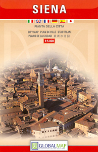
Siena Central Stanfords
£6.50
Archived Product
China East-Central Stanfords
£7.95
Archived Product

China South Central Stanfords
£10.50
Archived Product

Riga Central Stanfords
£4.99
Archived Product

China Central Nelles Stanfords
£10.99
Archived Product
China Central Gizi Map Stanfords
£9.99
Archived Product

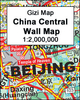
China Central Wall Map Stanfords
£13.50
Archived Product
Cork Central Stanfords
£8.25
Vouchers
No voucher codes found.
Do you know a voucher code for this product or supplier? Add it to Insights for others to use.
Do you know a voucher code for this product or supplier? Add it to Insights for others to use.
 Denmark