
 United Kingdom
 France
 Germany
 Netherlands
 Sweden
 USA
USA
 Italy
Italy
 Spain
Spain
More From Contributor


Tame Bridge 1901
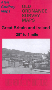
Tame Bridge in 1901 in a fascinating series of reproductions of old Ordnance Survey plans in the Alan Godfrey Editions, ideal for anyone interested in the history of their neighbourhood or family. The map covers a largely rural area east of Wednesbury and north of West Bromwich. Tame Bridge is in the top left corner, Grove Vale in the bottom right corner. Features include the Tame Valley Canal, Rushall Canal, LNWR Grand Junction Line, Ray Hall and Charlemont Hall.About the Alan Godfrey Editions of the 25” OS Series:Selected towns in Great Britain and Ireland are covered by maps showing the extent of urban development in the last decades of the 19th and early 20th century. The plans have been taken from the Ordnance Survey mapping and reprinted at about 15 inches to one mile (1:4,
340). On the reverse most maps have historical notes and many also include extracts from contemporary directories. Most maps cover about one mile (1.6kms) north/south, one and a half miles (2.4kms) across; adjoining sheets can be combined to provide wider coverage.FOR MORE INFORMATION AND A COMPLETE LIST OF ALL AVAILABLE TITLES PLEASE CLICK ON THE SERIES LINK.
340). On the reverse most maps have historical notes and many also include extracts from contemporary directories. Most maps cover about one mile (1.6kms) north/south, one and a half miles (2.4kms) across; adjoining sheets can be combined to provide wider coverage.FOR MORE INFORMATION AND A COMPLETE LIST OF ALL AVAILABLE TITLES PLEASE CLICK ON THE SERIES LINK.

Product Description
Reviews/Comments
Add New
Intelligent Comparison
Archived Product
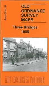
Three Bridges 1909 Stanfords
£3.50
Archived Product
Heap Bridge 1908 Stanfords
£2.95
Archived Product
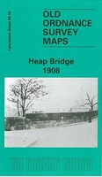
Heap Bridge 1908 Stanfords
£3.50
Archived Product

Guide Bridge 1918 Stanfords
£3.50
Archived Product
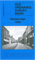
Wadebridge 1906 Stanfords
£2.95
Archived Product
Wadebridge 1906 Stanfords
£3.50
Archived Product
Hebden Bridge 1905 Stanfords
£3.50
Vouchers
No voucher codes found.
Do you know a voucher code for this product or supplier? Add it to Insights for others to use.
Do you know a voucher code for this product or supplier? Add it to Insights for others to use.
 Denmark