
 United Kingdom
 France
 Germany
 Netherlands
 Sweden
 USA
USA
 Italy
Italy
 Spain
Spain
More From Contributor


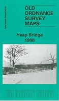
Heap Bridge 1908
Heap Bridge in 1908 in a fascinating series of reproductions of old Ordnance Survey plans in the Alan Godfrey Editions, ideal for anyone interested in the history of their neighbourhood or family. Selected towns in Great Britain and Ireland are covered by maps showing the extent of urban development in the last decades of the 19th and early 20th century.In this title: the map covers the Heap Bridge area, lying between Bury and Heywood, and extends eastward to the outskirts of Heywood. Features include River Roch, Heap Bridge Mills, tramways, Dye Works, the LYR Heap Bridge Branch with Bridge Hall Mills, Phoenix Foundry, a stretch of the Bury-Rochdale railway but no stations, Heap Fold Farm, Top of Heap, Heady Hill, Summit, Highfield Mill, Spring Mill, Derby Mill. On the
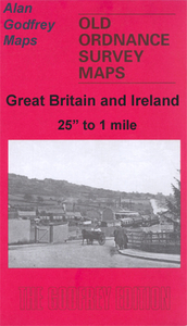
reverse is the busier section of the map from a later edition, a 1929 revision, showing how the area changed. About the Alan Godfrey Editions of the 25
reverse is the busier section of the map from a later edition, a 1929 revision, showing how the area changed. About the Alan Godfrey Editions of the 25
Product Description
Reviews/Comments
Add New
Intelligent Comparison
Archived Product
Heap Bridge 1908 Stanfords
£3.50
Archived Product
Hebden Bridge 1905 Stanfords
£3.50
Archived Product

Tame Bridge 1901 Stanfords
£3.50
Archived Product

Guide Bridge 1918 Stanfords
£3.50
Archived Product
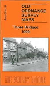
Three Bridges 1909 Stanfords
£3.50
Vouchers
No voucher codes found.
Do you know a voucher code for this product or supplier? Add it to Insights for others to use.
Do you know a voucher code for this product or supplier? Add it to Insights for others to use.
 Denmark