
 United Kingdom
 France
 Germany
 Netherlands
 Sweden
 USA
USA
 Italy
Italy
 Spain
Spain
More From Contributor


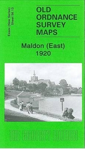
Maldon East 1920
Maldon East in 1920 in a fascinating series of reproductions of old Ordnance Survey plans in the Alan Godfrey Editions, ideal for anyone interested in the history of their neighbourhood or family. Maldon is covered on two maps. The Maldon East map covers the eastern part of the town, stretching from Market Hill and High Street eastward to Heybridge Basin. Features include Maldon East station, River Chelmer, ironworks, Mill Road, Wantz Road, Cross Road, Fullbridge, saltings. Part of Heybridge is covered with Heybridge Hall at the top of the map; features here include part of the Chelmer & Blackwater Canal, Heybridge Basin. On the reverse is the second part of the 1922 trade directory, P to Z, plus the Private Residents entry.About the Alan Godfrey Editions of the 25” OS
SeriesSelected towns in Great Britain and Ireland are covered by maps showing the extent of urban development in the last decades of the 19th and early 20th century. The plans have been taken from the Ordnance Survey mapping and reprinted at about 15 inches to one mile (1:4, 340). On the reverse most maps have historical notes and many also include extracts from contemporary directories. Most maps cover about one mile (1.6kms) north/south, one and a half miles (2.4kms) across; adjoining sheets can be combined to provide wider coverage.FOR MORE INFORMATION AND A COMPLETE LIST OF ALL AVAILABLE TITLES PLEASE CLICK ON THE SERIES LINK.
SeriesSelected towns in Great Britain and Ireland are covered by maps showing the extent of urban development in the last decades of the 19th and early 20th century. The plans have been taken from the Ordnance Survey mapping and reprinted at about 15 inches to one mile (1:4, 340). On the reverse most maps have historical notes and many also include extracts from contemporary directories. Most maps cover about one mile (1.6kms) north/south, one and a half miles (2.4kms) across; adjoining sheets can be combined to provide wider coverage.FOR MORE INFORMATION AND A COMPLETE LIST OF ALL AVAILABLE TITLES PLEASE CLICK ON THE SERIES LINK.

Product Description
Reviews/Comments
Add New
Intelligent Comparison
Archived Product
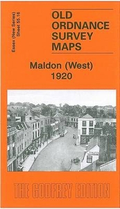
Maldon West 1920 Stanfords
£3.50
Archived Product
Bolton East 1908 Stanfords
£2.95
Archived Product
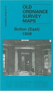
Bolton East 1908 Stanfords
£3.50
Archived Product
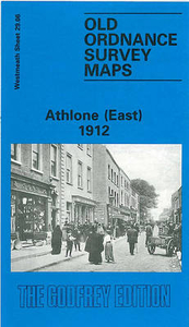
Athlone East 1912 Stanfords
£3.50
Archived Product

Bradford East 1906 Stanfords
£3.50
Archived Product
London East 1920-1921 Stanfords
£9.99
Vouchers
No voucher codes found.
Do you know a voucher code for this product or supplier? Add it to Insights for others to use.
Do you know a voucher code for this product or supplier? Add it to Insights for others to use.
 Denmark