
 United Kingdom
 France
 Germany
 Netherlands
 Sweden
 USA
USA
 Italy
Italy
 Spain
Spain
More From Contributor


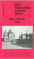
Bury South 1907
Bury South in 1907 in a fascinating series of reproductions of old Ordnance Survey plans in the Alan Godfrey Editions, ideal for anyone interested in the history of their neighbourhood or family. Selected towns in Great Britain and Ireland are covered by maps showing the extent of urban development in the last decades of the 19th and early 20th century.In this title: the map covers the southern part of Bury, extending from Gigg Lane southward to Hollins, and from Redvales Farm eastward to Hollins Vale. Features include the football ground, Cemetery, Hampson Mills, Nuttall Square, Barlow Fold, New Bridge Mills, Irwell Bleach Works, Redvales, St Peter's church, Goshen Farm, River Roch, Gigg with paper mills, Hollins Vale with bleach works, Fletcher Fold, Hollins Brook,
tramways. On the reverse are various directory extracts. About the Alan Godfrey Editions of the 25
tramways. On the reverse are various directory extracts. About the Alan Godfrey Editions of the 25
Product Description
Reviews/Comments
Add New
Intelligent Comparison
Archived Product
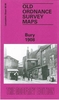
Bury South 1907 Stanfords
£3.50
Archived Product
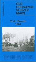
York South 1907 Stanfords
£3.50
Archived Product
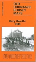
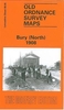
Bury North 1908 Stanfords
£3.50
Archived Product

Barnsley South 1904 Stanfords
£3.50
Archived Product
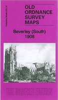
Beverley South 1908 Stanfords
£3.50
Archived Product

Cradley South 1901 Stanfords
£3.50
Archived Product
Grimsby South 1906 Stanfords
£2.95
Archived Product
Grimsby South 1906 Stanfords
£3.50
Vouchers
No voucher codes found.
Do you know a voucher code for this product or supplier? Add it to Insights for others to use.
Do you know a voucher code for this product or supplier? Add it to Insights for others to use.
 Denmark