
 United Kingdom
 France
 Germany
 Netherlands
 Sweden
 USA
USA
 Italy
Italy
 Spain
Spain
More From Contributor
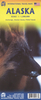

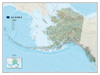

Alaska NGS Classic Style Wall Map ENCAPSULATED
Physical 96x58cm map of Alaska, encapsulated version, with an inset showing the size of the state in comaprison with the rest of the country. General relief is shown by hill-shading, and bathymetric tinting is applied to the ocean. Selected spot heights are marked, glaciers and wetland areas are indicated. Other detail includes national parks, wildlife refuges, airports, railways, roads, oilfields and pipelines. Latitude and longitude lines are drawn at 3
Product Description
Reviews/Comments
Add New
Intelligent Comparison
Archived Product
Cuba NGS Classic Style Wall Map ENCAPSULATED Stanfords
£28.95
Archived Product
Brazil NGS Classic Style Wall Map ENCAPSULATED Stanfords
£21.95
Archived Product
Brazil NGS Classic Style Wall Map ENCAPSULATED Stanfords
£21.95
Archived Product
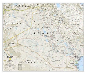
Iraq NGS Classic Wall Map ENCAPSULATED Stanfords
£17.99
Archived Product
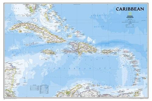
Caribbean NGS Classic Wall Map ENCAPSULATED Stanfords
£20.99
Archived Product
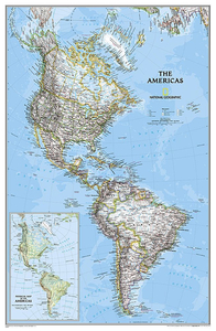
The Americas NGS Classic Wall Map ENCAPSULATED Stanfords
£17.99
Archived Product
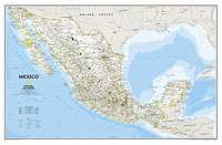
Mexico NGS Classic Wall Map ENCAPSULATED Stanfords
£17.99
Archived Product
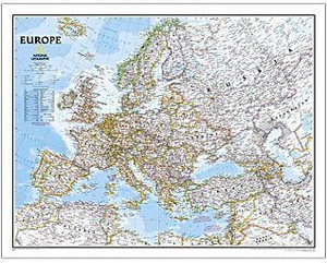
Europe NGS Classic Wall Map ENCAPSULATED Stanfords
£17.99
Vouchers
No voucher codes found.
Do you know a voucher code for this product or supplier? Add it to Insights for others to use.
Do you know a voucher code for this product or supplier? Add it to Insights for others to use.
 Denmark