
 United Kingdom
 France
 Germany
 Netherlands
 Sweden
 USA
USA
 Italy
Italy
 Spain
Spain
More From Contributor


Dundee East 1901
Dundee East in 1901 in a fascinating series of reproductions of old Ordnance Survey plans in the Alan Godfrey Editions, ideal for anyone interested in the history of their neighbourhood or family. The map covers the eastern half of Dundee, stretching from Brown Constable Street eastward to the Eastern Necropolis, and from Sandeman Street southward to Victoria Dock. Features include Victoria Dock, Camperdown Dock, Caledon Shipbuilding Yard, railway approaches from east, Camperdown Shipbuilding Yard, Dundee Fish Depot, Eastern Necropolis, St Patrick`s RC church, Manhattan Works, Poorhouse, Stobswell Works, Baxter Park, Fourth Ward area, First Ward area, Cattle Market, Taybank Works, East End Mineral Depot, Morgan Academy, Parochial Hospital, Greendykes, Craigie Bank,
bathing ponds, tramways, etc. On the reverse are street directory entries for Albert Street, Arbroath Road, Baffin Street, Baxter Park Terrace, Dock Street and Park Avenue. About the Alan Godfrey Editions of the 25” OS Series:Selected towns in Great Britain and Ireland are covered by maps showing the extent of urban development in the last decades of the 19th and early 20th century. The plans have been taken from the Ordnance Survey mapping and reprinted at about 15 inches to one mile (1:4, 340). On the reverse most maps have historical notes and many also include extracts from contemporary directories. Most maps cover about one mile (1.6kms) north/south, one and a half miles (2.4kms) across; adjoining sheets can be combined to provide wider coverage.FOR MORE INFORMATION AND A
COMPLETE LIST OF ALL AVAILABLE TITLES PLEASE CLICK ON THE SERIES LINK.

Product Description
Reviews/Comments
Add New
Intelligent Comparison
Archived Product

Dundee West 1901 Stanfords
£3.50
Archived Product

Dundee South 1901 Stanfords
£3.50
Archived Product
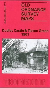
Dudley Castle 1901 Stanfords
£3.50
Archived Product
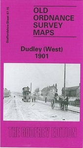
Dudley West 1901 Stanfords
£3.50
Archived Product
Burnley East 1909 Stanfords
£2.95
Archived Product

Burnley East 1909 Stanfords
£3.50
Archived Product

Crewe East 1908 Stanfords
£3.50
Archived Product
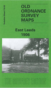
Leeds East 1906 Stanfords
£3.50
Vouchers
No voucher codes found.
Do you know a voucher code for this product or supplier? Add it to Insights for others to use.
Do you know a voucher code for this product or supplier? Add it to Insights for others to use.
 Denmark