
 United Kingdom
 France
 Germany
 Netherlands
 Sweden
 USA
USA
 Italy
Italy
 Spain
Spain
More From Contributor


Dundee West 1901
Dundee West in 1901 in a fascinating series of reproductions of old Ordnance Survey plans in the Alan Godfrey Editions, ideal for anyone interested in the history of their neighbourhood or family. The map covers the western part of Dundee, stretching from Seagate and William Street westward to City Road, and from Ward Road northward to Loons Street and the football grounds. Features include tramways, Royal Infirmary, Lawside Works, Caldrum Works, Angus Jute Works, Bowbridge Works, High School, The Houff, Rockwell Works, Prison, Sheriff Court Buildings, Dundee Linen Works, Sixth Ward area, Seventh Ward area, Dudhope Castle, Dundee Law, Dudhope House, Dudhope Park, Stirling Park Allotment Gardens, football ground, Albert Institute, Constable Works, Rashiewell Works,
etc. On the reverse are street directory entries for City Road, Dens Road, Hill Street, Lochee Road, Murraygate and Panmure Street.About the Alan Godfrey Editions of the 25” OS Series:Selected towns in Great Britain and Ireland are covered by maps showing the extent of urban development in the last decades of the 19th and early 20th century. The plans have been taken from the Ordnance Survey mapping and reprinted at about 15 inches to one mile (1:4, 340). On the reverse most maps have historical notes and many also include extracts from contemporary directories. Most maps cover about one mile (1.6kms) north/south, one and a half miles (2.4kms) across; adjoining sheets can be combined to provide wider coverage.FOR MORE INFORMATION AND A COMPLETE LIST OF ALL AVAILABLE TITLES PLEASE
CLICK ON THE SERIES LINK.

Product Description
Reviews/Comments
Add New
Intelligent Comparison
Archived Product

Dundee East 1901 Stanfords
£3.50
Archived Product
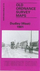
Dudley West 1901 Stanfords
£3.50
Archived Product

Dundee South 1901 Stanfords
£3.50
Archived Product
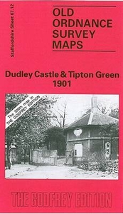
Dudley Castle 1901 Stanfords
£3.50
Archived Product
Dunblane West 1899 Stanfords
£2.95
Vouchers
No voucher codes found.
Do you know a voucher code for this product or supplier? Add it to Insights for others to use.
Do you know a voucher code for this product or supplier? Add it to Insights for others to use.
 Denmark