
 United Kingdom
 France
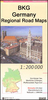
 Germany
 Netherlands
 Sweden
 USA
USA
 Italy
Italy
 Spain
Spain
More From Contributor

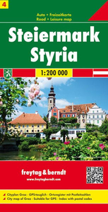
Styria
One of the titles in a series of provincial topographic maps derived from generalising the cartography of the 1:50, 000 survey. Topography is shown by contours at 100m intervals, spot heights, hill-shading and graphic relief. Colours and graphics distinguish landscape types e.g. forests, vineyards, swamps. The attractive, finely-drawn detail includes minor roads, tracks, railways, chairlifts, water features, national parks, and administrative boundaries. Small symbols show many landmarks e.g. towers, castles, refuges, isolated buildings. Some of the place names are in very small print.The maps have a UTM grid, with latitude lines at intervals of 12' and logintude at 20'. Map legend includes English. Each title also includes a small map with administrative sub-divisions of
the province.
the province.
Product Description
Reviews/Comments
Add New
Intelligent Comparison
Archived Product
Stroika Stanfords
£9.99
Archived Product
Styria F&B Stanfords
£10.99
Vouchers
No voucher codes found.
Do you know a voucher code for this product or supplier? Add it to Insights for others to use.
Do you know a voucher code for this product or supplier? Add it to Insights for others to use.
 Denmark