
 United Kingdom
 France
 Germany
 Netherlands
 Sweden
 USA
USA
 Italy
Italy
 Spain
Spain
More From Contributor


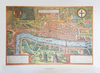


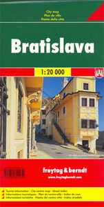
Bratislava Freytag & Berndt Map
Indexed street plan of the Slovak capital and the surrounding outer suburbs. The map shows public transport, places of interest, etc. An enlargement shows the city centre in greater detail. The plan also includes a small road map of the area between Bratislava and Vienna. Map legend includes English.

Product Description
Reviews/Comments
Add New
Intelligent Comparison
Archived Product
Milan Freytag & Berndt Map Stanfords
£9.99
Archived Product
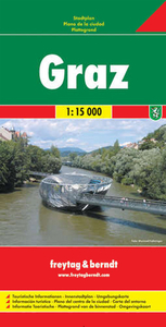
Graz Freytag & Berndt Map Stanfords
£9.99
Archived Product
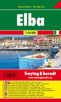
Elba Freytag & Berndt Map Stanfords
£4.99
Archived Product
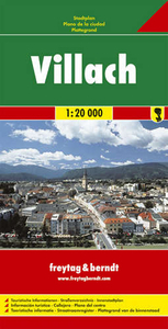
Villach Freytag & Berndt Map Stanfords
£9.99
Archived Product
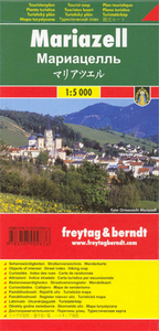
Mariazell Freytag & Berndt Map Stanfords
£4.50
Archived Product
Linz Freytag & Berndt Map Stanfords
£9.99
Archived Product
Dresden Freytag & Berndt Map Stanfords
£9.99
Archived Product
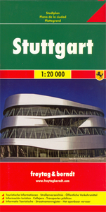
Stuttgart Freytag & Berndt Map Stanfords
£9.99
Vouchers
No voucher codes found.
Do you know a voucher code for this product or supplier? Add it to Insights for others to use.
Do you know a voucher code for this product or supplier? Add it to Insights for others to use.
 Denmark