
 United Kingdom
 France
 Germany
 Netherlands
 Sweden
 USA
USA
 Italy
Italy
 Spain
Spain
More From Contributor


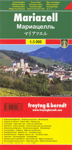
Mariazell Freytag & Berndt Map
Street plan of Mariazell with on the reverse a detailed map at 1:50, 000 of the town`s environs highlighting numerous hiking trails and cycling or mountain bike routes. The plan shows one way streets and car parks, railway stations and various places of interest for which brief multilingual descriptions are provided. On the reverse is a contoured map of the environs at 1:50, 000, covering mainly the area north of the town. Cable car lines, chair lifts, etc. and mountain huts are clearly marked. The map highlights numerous hiking trails, as well as cycle and mountain bike routes. Map legend for the street plan includes English. The map on the reverse has no legend or geographical coordinates.

Product Description
Reviews/Comments
Add New
Intelligent Comparison
Archived Product
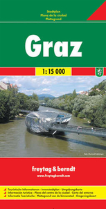
Graz Freytag & Berndt Map Stanfords
£9.99
Archived Product
Linz Freytag & Berndt Map Stanfords
£9.99
Archived Product
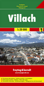
Villach Freytag & Berndt Map Stanfords
£9.99
Archived Product
Milan Freytag & Berndt Map Stanfords
£9.99
Archived Product
Elba Freytag & Berndt Map Stanfords
£4.99
Archived Product

Mozart Bike Trail Freytag & Berndt Map Stanfords
£9.99
Archived Product
Dresden Freytag & Berndt Map Stanfords
£9.99
Archived Product
Bratislava Freytag & Berndt Map Stanfords
£9.99
Vouchers
No voucher codes found.
Do you know a voucher code for this product or supplier? Add it to Insights for others to use.
Do you know a voucher code for this product or supplier? Add it to Insights for others to use.
 Denmark