
 United Kingdom
 France
 Germany
 Netherlands
 Sweden
 USA
USA
 Italy
Italy
 Spain
Spain
More From Contributor


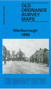
Marlborough 1899
Marlborough in 1899 in a fascinating series of reproductions of old Ordnance Survey plans in the Alan Godfrey Editions, ideal for anyone interested in the history of their neighbourhood or family. The map is double-sided for maximum coverage. Features on the main map include High Street area, St Margarets area, St Mary`s church, St Martins area, Marlborough Workhouse, Barton Farm, The Mount, Marlborough College, St Peter & St Paul`s church, Grammar School, The Green, Poulton House, Stonebridge Lane, Town Mill, Cotton House, Littlefield, Barton Copse, Deverill House, Summerfield etc. On the reverse is part of adjacent sheet 29.13 extending coverage south to include GWR station, Midland & South Western Jct Railway station, Preshute, St George`s House, Preshute House,
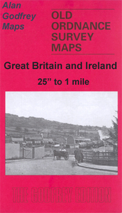
Cow Bridge. A list of private residents from a contemporary directory is also included. About the Alan Godfrey Editions of the 25” OS SeriesSelected towns in Great Britain and Ireland are covered by maps showing the extent of urban development in the last decades of the 19th and early 20th century. The plans have been taken from the Ordnance Survey mapping and reprinted at about 15 inches to one mile (1:4, 340). On the reverse most maps have historical notes and many also include extracts from contemporary directories. Most maps cover about one mile (1.6kms) north/south, one and a half miles (2.4kms) across; adjoining sheets can be combined to provide wider coverage.FOR MORE INFORMATION AND A COMPLETE LIST OF ALL AVAILABLE TITLES PLEASE CLICK ON THE SERIES LINK.
Cow Bridge. A list of private residents from a contemporary directory is also included. About the Alan Godfrey Editions of the 25” OS SeriesSelected towns in Great Britain and Ireland are covered by maps showing the extent of urban development in the last decades of the 19th and early 20th century. The plans have been taken from the Ordnance Survey mapping and reprinted at about 15 inches to one mile (1:4, 340). On the reverse most maps have historical notes and many also include extracts from contemporary directories. Most maps cover about one mile (1.6kms) north/south, one and a half miles (2.4kms) across; adjoining sheets can be combined to provide wider coverage.FOR MORE INFORMATION AND A COMPLETE LIST OF ALL AVAILABLE TITLES PLEASE CLICK ON THE SERIES LINK.

Product Description
Reviews/Comments
Add New
Intelligent Comparison
Archived Product
Market Harborough 1899 Stanfords
£2.95
Archived Product

Market Harborough 1899 Stanfords
£3.50
Archived Product
Knaresborough 1909 Stanfords
£3.50
Archived Product
Farnborough 1930 Stanfords
£2.95
Archived Product
Farnborough 1930 Stanfords
£3.50
Archived Product

Wellingborough 1899 Stanfords
£3.50
Archived Product
Masbrough 1901 Stanfords
£3.50
Archived Product

Mexborough 1901 Stanfords
£3.50
Vouchers
No voucher codes found.
Do you know a voucher code for this product or supplier? Add it to Insights for others to use.
Do you know a voucher code for this product or supplier? Add it to Insights for others to use.
 Denmark