
 United Kingdom
 France
 Germany
 Netherlands
 Sweden
 USA
USA
 Italy
Italy
 Spain
Spain
More From Contributor


Deptford North 1868
Deptford North in 1868 in a fascinating series of reproductions of old Ordnance Survey plans in the Alan Godfrey Editions, ideal for anyone interested in the history of their neighbourhood or family. Three versions have been published for this area, stretching from Canterbury Rd and Ormside Street eastward to Deptford Green, and from Rotherhithe Road and Deptford Wharf southward to St Paul`s church. Features include the Royal Dockyard and Royal Victoria Victualling Yard - shown in detail on the 1868 map, the northern part of Deptford High St, Evelyn Street, the Grand Surrey Canal, Coldblow Farm, the Thames Junction Branch railway, St Helena Gardens, numerous railway lines, The Den Millwall FC, Southwark Park station Foreign Cattle Market, a small section of West Ferry Road on
the north bank of river, various tramways. Churches include St Paul`s Deptford. Roads on the 1868 map include Evelyn St, Plough Road, Edward St, Old King St, Rotherhithe New Rd, White Post Lane, Chilton St, and part of Deptford High St.About the Alan Godfrey Editions of the 25” OS Series:Selected towns in Great Britain and Ireland are covered by maps showing the extent of urban development in the last decades of the 19th and early 20th century. The plans have been taken from the Ordnance Survey mapping and reprinted at about 15 inches to one mile (1:4, 340). On the reverse most maps have historical notes and many also include extracts from contemporary directories. Most maps cover about one mile (1.6kms) north/south, one and a half miles (2.4kms) across; adjoining sheets can be
combined to provide wider coverage.FOR MORE INFORMATION AND A COMPLETE LIST OF ALL AVAILABLE TITLES PLEASE CLICK ON THE SERIES LINK.

Product Description
Reviews/Comments
Add New
Intelligent Comparison
Archived Product

Deptford North 1894 Stanfords
£3.50
Archived Product

Deptford North 1914 Stanfords
£3.50
Archived Product

Hertford North 1897 Stanfords
£3.50
Archived Product
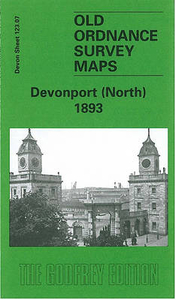
Devonport North 1893 Stanfords
£3.50
Archived Product
Knutsford North 1908 Stanfords
£3.50
Archived Product

Bedford North 1924 Stanfords
£3.50
Archived Product
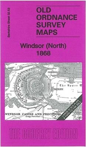
Windsor North 1868 Stanfords
£3.50
Vouchers
No voucher codes found.
Do you know a voucher code for this product or supplier? Add it to Insights for others to use.
Do you know a voucher code for this product or supplier? Add it to Insights for others to use.
 Denmark