
 United Kingdom
 France
 Germany
 Netherlands
 Sweden
 USA
USA
 Italy
Italy
 Spain
Spain
More From Contributor


Dalston 1894
Dalston in 1894 in a fascinating series of reproductions of old Ordnance Survey plans in the Alan Godfrey Editions, ideal for anyone interested in the history of their neighbourhood or family. Three versions of this map cover the same area, stretching from Essex Road eastward to London Fields, and from Shacklewell Lane southward to De Beauvoir Crescent; a varied and very busy area, comprising De Beauvoir Town, Kingsland and Balls Pond at the west, Dalston and west Hackney to the east. The North London Railway forms a T-shape across the map, including Dalston Junction and Haggerston stations, while on the later maps the GER line runs down the eastern side, including London Fields and Hackney Downs stations. Kingsland Road and Kingsland High Street run north-south through the centre
of the map. Other features include De Beauvoir Square, Kingsland Basin, Bricklayers Almshouses, Dyers Almshouses, Balls Pond Road, Mildmay Compound, German Hospital, Militia Barracks, etc.About the Alan Godfrey Editions of the 25” OS Series:Selected towns in Great Britain and Ireland are covered by maps showing the extent of urban development in the last decades of the 19th and early 20th century. The plans have been taken from the Ordnance Survey mapping and reprinted at about 15 inches to one mile (1:4, 340). On the reverse most maps have historical notes and many also include extracts from contemporary directories. Most maps cover about one mile (1.6kms) north/south, one and a half miles (2.4kms) across; adjoining sheets can be combined to provide wider coverage.FOR MORE
INFORMATION AND A COMPLETE LIST OF ALL AVAILABLE TITLES PLEASE CLICK ON THE SERIES LINK.

Product Description
Reviews/Comments
Add New
Intelligent Comparison
Archived Product
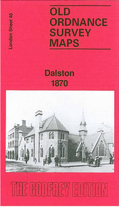
Dalston 1870 Stanfords
£3.50
Archived Product

Dunston 1894 Stanfords
£3.50
Archived Product
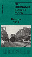
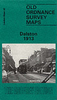
Dalston 1913 Stanfords
£3.50
Archived Product

Charlton 1894 Stanfords
£3.50
Archived Product

Heston 1894 Stanfords
£3.50
Archived Product
Alston 1898 Stanfords
£2.95
Archived Product
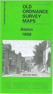
Alston 1898 Stanfords
£3.50
Archived Product

Hampton 1894 Stanfords
£3.50
Vouchers
No voucher codes found.
Do you know a voucher code for this product or supplier? Add it to Insights for others to use.
Do you know a voucher code for this product or supplier? Add it to Insights for others to use.
 Denmark