
 United Kingdom
 France
 Germany
 Netherlands
 Sweden
 USA
USA
 Italy
Italy
 Spain
Spain
More From Contributor


Chorley North 1909
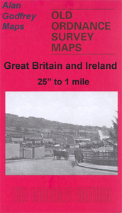
Chorley North in 1909 in a fascinating series of reproductions of old Ordnance Survey plans in the Alan Godfrey Editions, ideal for anyone interested in the history of their neighbourhood or family. Selected towns in Great Britain and Ireland are covered by maps showing the extent of urban development in the last decades of the 19th and early 20th century.In this title: the map covers the northern part of Chorley, stretching from Hollinshead Street northward to Hartwood Hall, and from Park Road eastward to Lower Healey Wood. Features include Talbot Mills, Lower Healey Bleach Works, Lancaster Canal, Heapey Bleach Works, Knowley Top, Botany Bay, Fosterfield Mill, Canal Mill, railway lines and engine shed, Diamond Mills, St Peter's church, North Street Mills, Chorley Hall Farm,
Hartwood Green. A commercial directory, entries A-H, is included on the reverse.About the Alan Godfrey Editions of the 25
Hartwood Green. A commercial directory, entries A-H, is included on the reverse.About the Alan Godfrey Editions of the 25
Product Description
Reviews/Comments
Add New
Intelligent Comparison
Archived Product

Colne North 1910 Stanfords
£3.50
Archived Product
Chorley 1909 Stanfords
£2.95
Archived Product

Chorley 1909 Stanfords
£3.50
Archived Product
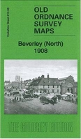
Beverley North 1908 Stanfords
£3.50
Archived Product
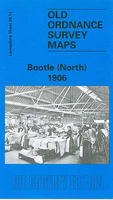
Bootle North 1906 Stanfords
£3.50
Archived Product
Southport North 1909 Stanfords
£3.50
Archived Product
Burnley North West 1909 Stanfords
£2.95
Archived Product
Burnley North West 1909 Stanfords
£3.50
Vouchers
No voucher codes found.
Do you know a voucher code for this product or supplier? Add it to Insights for others to use.
Do you know a voucher code for this product or supplier? Add it to Insights for others to use.
 Denmark