
 United Kingdom
 France
 Germany
 Netherlands
 Sweden
 USA
USA
 Italy
Italy
 Spain
Spain
More From Contributor


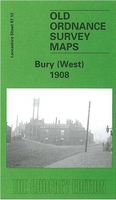
Bury West 1908
Bury West in 1908 in a fascinating series of reproductions of old Ordnance Survey plans in the Alan Godfrey Editions, ideal for anyone interested in the history of their neighbourhood or family. The map covers the western part of Bury, including Eelton and Elton Fold. Coverage extends westward to Starling, Starling Road and Lower Croft Mill. Features include Seddon`s Farm, Wellington Barracks, a stretch of the Bolton-Bury railway line with Bury Corporation Gas Siding, Whitehead Recreation Ground, Lower Hinds, Manchester Bolton & Bury Canal, River Irwell, tramways, Florence Nightingale Hospital, Wellington Mills, New Victoria Mills, Daisyfield Mills, Albion Mills, Waterside Mill, Egyptian Mills, Elton Paper Mills Atlas Iron Works, Gas Works, etc. On the reverse are
extracts from a contemporary trade directory, including lists of clergy, plus street directory entries for Belbeck Street, Bolton Road, Charles Street and Wood Street. About the Alan Godfrey Editions of the 25” OS Series:Selected towns in Great Britain and Ireland are covered by maps showing the extent of urban development in the last decades of the 19th and early 20th century. The plans have been taken from the Ordnance Survey mapping and reprinted at about 15 inches to one mile (1:4, 340). On the reverse most maps have historical notes and many also include extracts from contemporary directories. Most maps cover about one mile (1.6kms) north/south, one and a half miles (2.4kms) across; adjoining sheets can be combined to provide wider coverage.FOR MORE INFORMATION AND A COMPLETE
LIST OF ALL AVAILABLE TITLES PLEASE CLICK ON THE SERIES LINK.

Product Description
Reviews/Comments
Add New
Intelligent Comparison
Archived Product

Bury North West 1908 Stanfords
£3.50
Archived Product
Hull West 1908 Stanfords
£3.50
Archived Product
Bury 1908 Stanfords
£3.50
Archived Product
Bury North 1908 Stanfords
£3.50
Archived Product
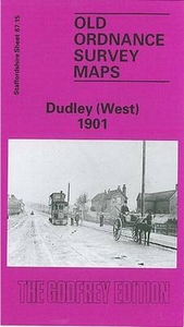
Dudley West 1901 Stanfords
£3.50
Archived Product

Bangor West 1901 Stanfords
£3.50
Archived Product
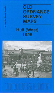
Hull West 1928 Stanfords
£3.50
Archived Product
Burnley East 1909 Stanfords
£2.95
Vouchers
No voucher codes found.
Do you know a voucher code for this product or supplier? Add it to Insights for others to use.
Do you know a voucher code for this product or supplier? Add it to Insights for others to use.
 Denmark