
 United Kingdom
 France
 Germany
 Netherlands
 Sweden
 USA
USA
 Italy
Italy
 Spain
Spain
More From Contributor


Brno And Environs
Indexed street plan of Brno and the surrounding villages, showing one-way streets and public transport system. An enlargement shows the city centre in greater detail. On the reverse there is a road map of the environs of Brno at 1:75, 000, plus street plans of Kurim, Ivanice, Oslavany, Rosice, Tisnov, Zbysov, Slapanice and Zidlochovoce. Map legend includes English.
Product Description
Reviews/Comments
Add New
Intelligent Comparison
Archived Product
Bolzano And Environs Stanfords
£8.50
Archived Product
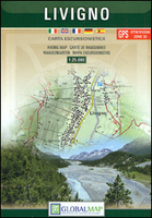
Livigno And Environs Stanfords
£12.99
Archived Product

Saranda And Environs Stanfords
£10.99
Archived Product
Paris And Environs Stanfords
£11.99
Archived Product
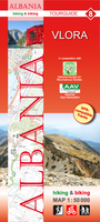
Vlora And Environs Stanfords
£11.99
Archived Product
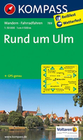
Ulm And Environs Stanfords
£10.95
Archived Product
Elbrus And Environs Stanfords
£6.95
Archived Product

Puka And Environs Stanfords
£11.99
Vouchers
No voucher codes found.
Do you know a voucher code for this product or supplier? Add it to Insights for others to use.
Do you know a voucher code for this product or supplier? Add it to Insights for others to use.
 Denmark