
 United Kingdom
 France
 Germany
 Netherlands
 Sweden
 USA
USA
 Italy
Italy
 Spain
Spain
More From Contributor


Bolzano And Environs
Map No. 54, Bolzano and Environs - with a panorama map on the reverse, from Kompass in a series of walking maps of selected areas of Italy at 1:50, 000, with hiking routes on a topographic base, various types of accommodation, recreational facilities, places of interest, etc. Kompass are Europe
Product Description
Reviews/Comments
Add New
Intelligent Comparison
Archived Product
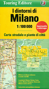
Milan And Environs Stanfords
£8.99
Archived Product
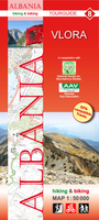
Vlora And Environs Stanfords
£11.99
Archived Product
Basel And Environs Stanfords
£19.99
Archived Product
Bolzano And Environs Kompass 54 Stanfords
£11.95
Archived Product
Brighton And Environs Stanfords
£1.99
Archived Product
Ulm And Environs Stanfords
£10.95
Archived Product

Bolzano And Environs Kompass 154 Stanfords
£10.99
Archived Product

Ljubljana And Environs Stanfords
£11.99
Vouchers
No voucher codes found.
Do you know a voucher code for this product or supplier? Add it to Insights for others to use.
Do you know a voucher code for this product or supplier? Add it to Insights for others to use.
 Denmark