
 United Kingdom
 France
 Germany
 Netherlands
 Sweden
 USA
USA
 Italy
Italy
 Spain
Spain
More From Contributor


Birmingham North 1913
Birmingham North in 1913 in a fascinating series of reproductions of old Ordnance Survey plans in the Alan Godfrey Editions, ideal for anyone interested in the history of their neighbourhood or family. The map covers a very busy area of north Birmingham, stretching from Barr Street and Great Hampton Street eastward to Bloomsbury Street, and from Tower Road southward to Great Brook Street. Coverage includes the Aston New Town area, much of Duddeston and Gosta Green. Features include the LNWR Aston Goods Branch with goods station and gas works, Birmingham & Fazeley Canal, Digbeth Branch canal, tramways and depot, Perryian Pen Works, vinegar brewery, Holt Brewery, Walmer Recreation Ground, Dunlop Rubber Works, Climax Tube Works, Hockley Brook, St George`s church, Constitution
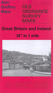
Hill, St Mary`s Ward, Aston Cross, etc. On the reverse are street directory entries for Aston Road, Aston Road North, Dartmouth Street, Pritchett Street, Tower Road and Tower Street.About the Alan Godfrey Editions of the 25” OS Series:Selected towns in Great Britain and Ireland are covered by maps showing the extent of urban development in the last decades of the 19th and early 20th century. The plans have been taken from the Ordnance Survey mapping and reprinted at about 15 inches to one mile (1:4, 340). On the reverse most maps have historical notes and many also include extracts from contemporary directories. Most maps cover about one mile (1.6kms) north/south, one and a half miles (2.4kms) across; adjoining sheets can be combined to provide wider coverage.FOR MORE INFORMATION
AND A COMPLETE LIST OF ALL AVAILABLE TITLES PLEASE CLICK ON THE SERIES LINK.

Product Description
Reviews/Comments
Add New
Intelligent Comparison
Archived Product

Birmingham South 1913 Stanfords
£3.50
Archived Product

Nottingham North 1913 Stanfords
£3.50
Archived Product
Birmingham East 1901 Stanfords
£3.50
Archived Product

Birmingham West 1914 Stanfords
£3.50
Archived Product
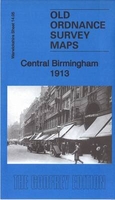
Birmingham Central 1913 Stanfords
£3.50
Archived Product
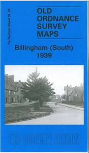
Billingham South 1939 Stanfords
£3.50
Archived Product
Birmingham South 1888 Stanfords
£2.95
Archived Product

Birmingham South 1888 Stanfords
£3.50
Vouchers
No voucher codes found.
Do you know a voucher code for this product or supplier? Add it to Insights for others to use.
Do you know a voucher code for this product or supplier? Add it to Insights for others to use.
 Denmark