
 United Kingdom
 France
 Germany
 Netherlands
 Sweden
 USA
USA
 Italy
Italy
 Spain
Spain
More From Contributor


Birkdale 1909
Birkdale in 1909 in a fascinating series of reproductions of old Ordnance Survey plans in the Alan Godfrey Editions, ideal for anyone interested in the history of their neighbourhood or family. Selected towns in Great Britain and Ireland are covered by maps showing the extent of urban development in the last decades of the 19th and early 20th century.In this title: the map covers the southern part of Southport, and Birkdale. Coverage extends from Stanley Avenue northward to Westcliffe Road, and from Warwick Street westward to the shore. This is mainly a residential map with many streets of housing, but other features include the Cheshire Lines Railway with Palace station, LYR railway with Birkdale station, Smedley Hydropathic, Bickerton House, livery stables, tramways, Victoria
Brewery, Terra Nova, Palace Hotel, convent etc. A good selection of street directory entries is on the reverse. About the Alan Godfrey Editions of the 25
Brewery, Terra Nova, Palace Hotel, convent etc. A good selection of street directory entries is on the reverse. About the Alan Godfrey Editions of the 25
Product Description
Reviews/Comments
Add New
Intelligent Comparison
Archived Product

Birkdale 1909 Stanfords
£3.50
Archived Product

Kirkdale 1906 Stanfords
£3.50
Archived Product
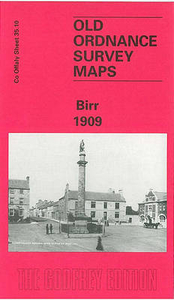
Birr 1909 Stanfords
£3.50
Archived Product

Bramley 1906 Stanfords
£3.50
Archived Product
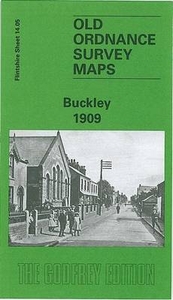
Buckley 1909 Stanfords
£3.50
Archived Product
Birkenhead 1909 Stanfords
£3.50
Vouchers
No voucher codes found.
Do you know a voucher code for this product or supplier? Add it to Insights for others to use.
Do you know a voucher code for this product or supplier? Add it to Insights for others to use.
 Denmark