
 United Kingdom
 France
 Germany
 Netherlands
 Sweden
 USA
USA
 Italy
Italy
 Spain
Spain
More From Contributor


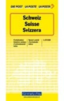
Switzerland Physical Wall Map
125x85cm physical wallmap of Switzerland with contours, graphic relief and shading skilfully presenting the country's mountainous terrain. The cartography is a reduction of the 1:200, 000 topographic series, retaining the same information. The map has, therefore, rather small print. Map legend is in German, French and Italian only.
Product Description
Reviews/Comments
Add New
Intelligent Comparison
Archived Product
France Physical Wall Map Stanfords
£11.50
Archived Product
France Physical Wall Map Stanfords
£11.50
Archived Product
Switzerland K+F Postcode Wall Map Stanfords
£18.99
Archived Product
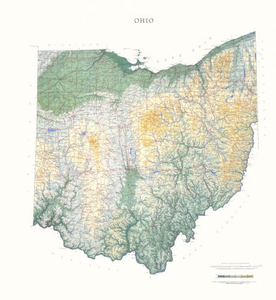
Ohio State Physical Wall Map Stanfords
£30.00
Archived Product

Utah State Physical Wall Map Stanfords
£30.00
Archived Product

Iowa State Physical Wall Map Stanfords
£30.00
Archived Product
Maine State Physical Wall Map Stanfords
£30.00
Archived Product
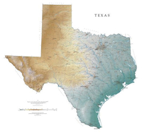
Texas State Physical Wall Map Stanfords
£30.00
Vouchers
No voucher codes found.
Do you know a voucher code for this product or supplier? Add it to Insights for others to use.
Do you know a voucher code for this product or supplier? Add it to Insights for others to use.
 Denmark