
 United Kingdom
 France
 Germany
 Netherlands
 Sweden
 USA
USA
 Italy
Italy
 Spain
Spain
More From Contributor


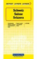
Switzerland Postcode Map
Large size map of the country with cantons in different colours. Names of all towns and villages are annotated with their post codes, and are also listed in an index placed around the map. The base map shows both roads and the full rail network, including mountain railways, cable car lines, and chair lifts. Map legend is in German, French and Italian only.This title is also available as a wall map, and as a folded map with a more detailed administrative map of the country on the reverse.
Product Description
Reviews/Comments
Add New
Intelligent Comparison
Archived Product
Switzerland K+F Postcode Wall Map Stanfords
£18.99
Archived Product

Germany Postcode Map Stanfords
£19.95
Archived Product

Switzerland Marco Polo Map Stanfords
£6.99
Archived Product
Switzerland Cycling Map Stanfords
£19.99
Archived Product
Switzerland Physical Wall Map Stanfords
£47.95
Archived Product
Switzerland Pocket Guide Stanfords
£6.99
Archived Product
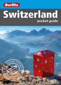
Switzerland Pocket Guide Stanfords
£6.99
Archived Product
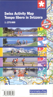
Switzerland Activity Map Stanfords
£14.50
Vouchers
No voucher codes found.
Do you know a voucher code for this product or supplier? Add it to Insights for others to use.
Do you know a voucher code for this product or supplier? Add it to Insights for others to use.
 Denmark