
 United Kingdom
 France
 Germany
 Netherlands
 Sweden
 USA
USA
 Italy
Italy
 Spain
Spain
More From Contributor


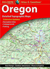


Oregon Recreational Atlas & Gazetteer
Oregon Recreational Atlas and Gazetteer at 1:157, 000 approx. in a series of large format paperback state atlases from DeLorme, with detailed, contoured, GPS compatible topographic mapping plus extensive recreational information, with lists of sites and facilities, etc.Each title covers one state and presents it on impressively detailed mapping at scales much more detailed than used on most state road maps. Particularly popular areas are often also presented on enlargements. The maps are contoured, show variation of terrain (deserts, glaciers, wetlands, woodlands, etc) and have latitude and longitude and/or UTM grid lines for GPS use. Various types of protected areas are distinguished by the colouring of their boundaries, e.g. national or state parks, forests, etc. Also marked
are Indian Reservations and restricted entry military zones.Road network is shown in much more detail than on other state mapping, with local roads, unsurfaced back roads and tracks, forest trails, etc. Where appropriate, old historical routes are marked. Railway lines and local airports or landing strips are included and the maps also indicate administrative boundaries. Symbols highlight various recreational areas and facilities such as campgrounds, unique natural features, etc. Each title contains extensive lists of outdoor adventure sites (grouped into activities such as hiking, biking, paddling, fishing, skiing, etc.), diverse family outing sites, campgrounds, and tables showing what facilities can be found in the state
are Indian Reservations and restricted entry military zones.Road network is shown in much more detail than on other state mapping, with local roads, unsurfaced back roads and tracks, forest trails, etc. Where appropriate, old historical routes are marked. Railway lines and local airports or landing strips are included and the maps also indicate administrative boundaries. Symbols highlight various recreational areas and facilities such as campgrounds, unique natural features, etc. Each title contains extensive lists of outdoor adventure sites (grouped into activities such as hiking, biking, paddling, fishing, skiing, etc.), diverse family outing sites, campgrounds, and tables showing what facilities can be found in the state
Product Description
Reviews/Comments
Add New
Intelligent Comparison
Archived Product
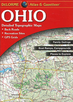
Ohio Recreational Atlas & Gazetteer Stanfords
£19.99
Archived Product
Georgia Recreational Atlas & Gazetteer Stanfords
£19.99
Archived Product
Idaho Recreational Atlas & Gazetteer Stanfords
£19.95
Archived Product
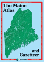
Maine Recreational Atlas & Gazetteer Stanfords
£19.99
Archived Product
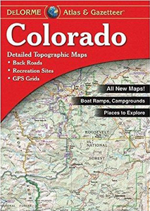
Colorado Recreational Atlas & Gazetteer Stanfords
£19.99
Archived Product
Oklahoma Recreational Atlas & Gazetteer Stanfords
£19.95
Archived Product
Utah Recreational Atlas & Gazetteer Stanfords
£19.95
Archived Product
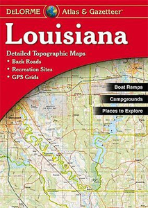
Louisiana Recreational Atlas & Gazetteer Stanfords
£19.99
Vouchers
No voucher codes found.
Do you know a voucher code for this product or supplier? Add it to Insights for others to use.
Do you know a voucher code for this product or supplier? Add it to Insights for others to use.
 Denmark