
 United Kingdom
 France
 Germany
 Netherlands
 Sweden
 USA
USA
 Italy
Italy
 Spain
Spain
More From Contributor


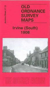
Irvine North 1908
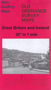
Irvine North in 1908 in a fascinating series of reproductions of old Ordnance Survey plans in the Alan Godfrey Editions, ideal for anyone interested in the history of their neighbourhood or family. The map covers the northern half of Irvine, stretching from the High Street and Bank Street northward to Ravenspark, and eastward to Stanecastle. Features include Duntonknoll Quarry, Thornhouse Soap & Candle Works, parts of Cadgers Race Course, Seagate Castle, Academy, Burns Street, Caledonian Forge, Lanarkshire & Ayrshire Railway branch with terminus, Ballot Road, etc.About the Alan Godfrey Editions of the 25” OS Series:Selected towns in Great Britain and Ireland are covered by maps showing the extent of urban development in the last decades of the 19th and early 20th century. The
plans have been taken from the Ordnance Survey mapping and reprinted at about 15 inches to one mile (1:4, 340). On the reverse most maps have historical notes and many also include extracts from contemporary directories. Most maps cover about one mile (1.6kms) north/south, one and a half miles (2.4kms) across; adjoining sheets can be combined to provide wider coverage.FOR MORE INFORMATION AND A COMPLETE LIST OF ALL AVAILABLE TITLES PLEASE CLICK ON THE SERIES LINK.
plans have been taken from the Ordnance Survey mapping and reprinted at about 15 inches to one mile (1:4, 340). On the reverse most maps have historical notes and many also include extracts from contemporary directories. Most maps cover about one mile (1.6kms) north/south, one and a half miles (2.4kms) across; adjoining sheets can be combined to provide wider coverage.FOR MORE INFORMATION AND A COMPLETE LIST OF ALL AVAILABLE TITLES PLEASE CLICK ON THE SERIES LINK.

Product Description
Reviews/Comments
Add New
Intelligent Comparison
Archived Product
Irvine South 1908 Stanfords
£3.50
Archived Product
Inverness North 1903 Stanfords
£3.50
Archived Product
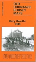
Bury North 1908 Stanfords
£3.50
Archived Product

Wigan North 1907 Stanfords
£3.50
Archived Product

Colne North 1910 Stanfords
£3.50
Archived Product
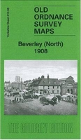
Beverley North 1908 Stanfords
£3.50
Archived Product

Farnworth 1908 Stanfords
£3.50
Archived Product
Iran: North 28 Stanfords
£14.95
Vouchers
No voucher codes found.
Do you know a voucher code for this product or supplier? Add it to Insights for others to use.
Do you know a voucher code for this product or supplier? Add it to Insights for others to use.
 Denmark