
 United Kingdom
 France
 Germany
 Netherlands
 Sweden
 USA
USA
 Italy
Italy
 Spain
Spain
More From Contributor

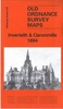


Inverness North 1903
Inverness North in 1903 in a fascinating series of reproductions of old Ordnance Survey plans in the Alan Godfrey Editions, ideal for anyone interested in the history of their neighbourhood or family. The map covers the northern part of Inverness, stretching from the Citadel and the remains of Cromwell`s Fort westward to Clachnaharry, and from Innes Street northward to South Kessock. Features include Merkinch area, Militia Depot, Maggot area, Waterloo Bridge, Citadel area, River Ness, a stretch of Highland Railway with Clacknaharry station, Caledonian Canal Branch, Muirtown Basin, Muirtown House, Clachnaharry Lock, Sea Lock, Thornbush Brewery, Capel Inch, Thornbush Quay, coastguard station, South Kessock and pier, Creamine Works, Muirtown Mills, Glen-Albyn Distillery,
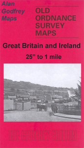
etc. About the Alan Godfrey Editions of the 25” OS Series:Selected towns in Great Britain and Ireland are covered by maps showing the extent of urban development in the last decades of the 19th and early 20th century. The plans have been taken from the Ordnance Survey mapping and reprinted at about 15 inches to one mile (1:4, 340). On the reverse most maps have historical notes and many also include extracts from contemporary directories. Most maps cover about one mile (1.6kms) north/south, one and a half miles (2.4kms) across; adjoining sheets can be combined to provide wider coverage.FOR MORE INFORMATION AND A COMPLETE LIST OF ALL AVAILABLE TITLES PLEASE CLICK ON THE SERIES LINK.
etc. About the Alan Godfrey Editions of the 25” OS Series:Selected towns in Great Britain and Ireland are covered by maps showing the extent of urban development in the last decades of the 19th and early 20th century. The plans have been taken from the Ordnance Survey mapping and reprinted at about 15 inches to one mile (1:4, 340). On the reverse most maps have historical notes and many also include extracts from contemporary directories. Most maps cover about one mile (1.6kms) north/south, one and a half miles (2.4kms) across; adjoining sheets can be combined to provide wider coverage.FOR MORE INFORMATION AND A COMPLETE LIST OF ALL AVAILABLE TITLES PLEASE CLICK ON THE SERIES LINK.

Product Description
Reviews/Comments
Add New
Intelligent Comparison
Archived Product

Inverness West 1903 Stanfords
£3.50
Archived Product
Inverness East 1903 Stanfords
£3.50
Archived Product

Irvine North 1908 Stanfords
£3.50
Archived Product

Evesham North 1903 Stanfords
£3.50
Archived Product
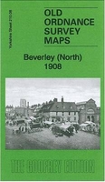
Beverley North 1908 Stanfords
£3.50
Archived Product
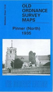
Pinner North 1935 Stanfords
£3.50
Vouchers
No voucher codes found.
Do you know a voucher code for this product or supplier? Add it to Insights for others to use.
Do you know a voucher code for this product or supplier? Add it to Insights for others to use.
 Denmark