
 United Kingdom
 France
 Germany
 Netherlands
 Sweden
 USA
USA
 Italy
Italy
 Spain
Spain
More From Contributor


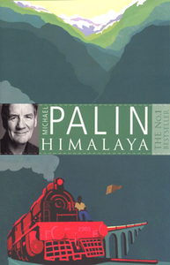
Himalaya
Michael Palin takes us on a full length journey of the Himalayas, the greatest mountain range on earth, stretching 1, 800 miles from the borders of Afghanistan to southwest China.Having risen to the challenge of seas, poles and deserts, Palin now tackles the world’s longest mountain range - The Himalaya’s. His journey takes him through the Khyber Pass and ancient cities such as Peshawar and Lahore, past the mighty peaks of K2 and Everest and onto the so-called ‘roof of the world’, the Tibetan plateau. Along the way, he gives an elephant a bath, learns how to milk a yak, escapes a 50p dentist and has an audience with the Dalai Lama.

Product Description
Reviews/Comments
Add New
Intelligent Comparison
Archived Product
Himalaya Stanfords
£7.95
Archived Product
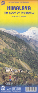
Himalaya ITMB Stanfords
£9.99
Archived Product
Nepal Himalaya Stanfords
£14.99
Vouchers
No voucher codes found.
Do you know a voucher code for this product or supplier? Add it to Insights for others to use.
Do you know a voucher code for this product or supplier? Add it to Insights for others to use.
 Denmark