
 United Kingdom
 France
 Germany
 Netherlands
 Sweden
 USA
USA
 Italy
Italy
 Spain
Spain
More From Contributor


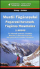


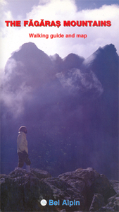
Fagaras Mountains Hiking Map And Guide
Fagaras Mountains at 1:75, 000 from Bel Alpin on a contoured walking map with a 64-page guide providing descriptions of 56 hiking routes and 90km traverse along the ridge route across the whole lengths of the chain.The map has contours at 100m intervals with additional shading and graphic relief for rocky ridges and outcrops, plus colouring for woodlands. An overprint highlight hiking routes, indicating waymarking and shows chalets, refuges, campsites, hunting lodges, mountain rescue posts, etc. The map has no geographical coordinates for GPS.The 64-page guide attached to the map cover provides detailed descriptions of 56 hiking trails and of the 90km-long main ridge route, with separate descriptions for the traverse in the westerly and the easterly directions. The guide also
provides information on the cabanas (mountain huts and chalets), alpine refuges and other types of shelters in the mountains, as well as notes on the region’s fauna, flora and local villages.All the text is in English.
provides information on the cabanas (mountain huts and chalets), alpine refuges and other types of shelters in the mountains, as well as notes on the region’s fauna, flora and local villages.All the text is in English.

Product Description
Reviews/Comments
Add New
Vouchers
No voucher codes found.
Do you know a voucher code for this product or supplier? Add it to Insights for others to use.
Do you know a voucher code for this product or supplier? Add it to Insights for others to use.
 Denmark