
 United Kingdom
 France
 Germany
 Netherlands
 Sweden
 USA
USA
 Italy
Italy
 Spain
Spain
More From Contributor


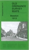


Beeston 1913
Beeston in 1913 in a fascinating series of reproductions of old Ordnance Survey plans in the Alan Godfrey Editions, ideal for anyone interested in the history of their neighbourhood or family. Selected towns in Great Britain and Ireland are covered by maps showing the extent of urban development in the last decades of the 19th and early 20th century.In this title: the map covers the town of Beeston, south-west of Nottingham. Features include town, St John's church, Anglo-Scotian Mills, lace factories, iron foundry, small portion of railway but not station, schools, Beeston Fields, etc. On the reverse is a selection of trade directory entries from Wright's 1902 directory. About the Alan Godfrey Editions of the 25
Product Description
Reviews/Comments
Add New
Intelligent Comparison
Archived Product

Beeston 1913 Stanfords
£3.50
Archived Product
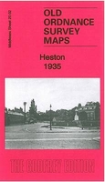
Heston 1935 Stanfords
£3.50
Archived Product

Bilston 1901 Stanfords
£3.50
Archived Product
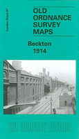
Beckton 1914 Stanfords
£3.50
Archived Product
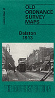
Dalston 1913 Stanfords
£3.50
Vouchers
No voucher codes found.
Do you know a voucher code for this product or supplier? Add it to Insights for others to use.
Do you know a voucher code for this product or supplier? Add it to Insights for others to use.
 Denmark