
 United Kingdom
 France
 Germany
 Netherlands
 Sweden
 USA
USA
 Italy
Italy
 Spain
Spain
More From Contributor


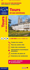
Tours And Its Environs IGN Map
Tours and its Environs in a series of detailed road maps at 1:80, 000 from the IGN, designed to highlight places of interest and recreational possibilities, with a city centre street plan and an enlargement of a selected hiking area.Cartography is an enlargement from 1:100, 000 to 1:80, 000 of the publisher’s highly popular TOP100 series, with very detailed presentation of the road network, including classification of local roads according to lanes, rest areas, access restrictions, etc. Railway lines are shown with stations. Topography is shown by relief shading, with spot heights and colouring for woodlands, vineyards, orchards, etc. Cycle tracks and long-distance GR routes are marked. A wide range of symbols indicate various places of interest and recreational facilities,
historical and cultural sites, golf courses, rock climbing, nature reserves, etc. Refuges and gîtes d’etape are marked, but no campsites. The maps have no geographical coordinates for GPS. Each title has an index of communes. Map legend includes English.A special feature of this series is the inclusion of a large city centre street plan and an enlargement of a particularly interesting recreational area. Presentation of these features varies, so please check the individual descriptions for more information.* IN THIS TITLE: a large street plan of Tour’s city centre highlighting main traffic arteries and indicating one way streets. An additional panel presents an extract from IGN’s topographic coverage of the Rivarennes – Château de la Chatonnière area in their TOP25 series
but shown here at 1:30, 000. The extract highlights local hiking routes. The map also indicates how its whole area is covered by IGN’s topographic survey at 1:25, 000.

Product Description
Reviews/Comments
Add New
Intelligent Comparison
Archived Product

Toulouse And Its Environs IGN Map Stanfords
£7.50
Archived Product
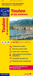
Toulon And Its Environs IGN Map Stanfords
£7.50
Archived Product

Pau And Its Environs IGN Map Stanfords
£7.50
Archived Product
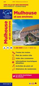
Mulhouse And Its Environs IGN Map Stanfords
£7.50
Archived Product
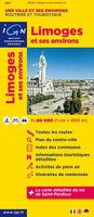
Limoges And Its Environs IGN Map Stanfords
£7.50
Archived Product
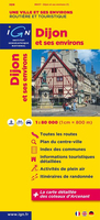
Dijon And Its Environs IGN Map Stanfords
£7.50
Archived Product
Strasbourg And Its Environs IGN Map Stanfords
£7.50
Archived Product
Rennes And Its Environs IGN Map Stanfords
£7.50
Vouchers
No voucher codes found.
Do you know a voucher code for this product or supplier? Add it to Insights for others to use.
Do you know a voucher code for this product or supplier? Add it to Insights for others to use.
 Denmark