
 United Kingdom
 France
 Germany
 Netherlands
 Sweden
 USA
USA
 Italy
Italy
 Spain
Spain
More From Contributor


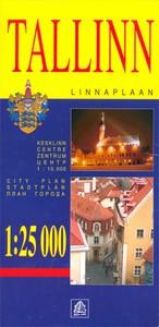
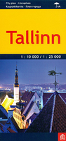
Tallinn
Indexed street plan of Tallinn, with an enlargement for the city centre, public transport lines, locations of petrol stations and parking facilities, places of interest, etc. The plan covers the whole of the city within its administrative boundary, with an enlargement extending it eastwards to include Maardu.Tram, trolleybus and bus routes are shown with stops and line numbers. The plan shows one way streets, locations of petrol stations car parks. Symbols highlight various places of interest, hotels and facilities, etc. Map legend includes English.An enlargement shows the city centre at a more detailed scale of 1:10, 000.

Product Description
Reviews/Comments
Add New
Intelligent Comparison
Archived Product
Tallinn Stanfords
£8.50
Archived Product
Tallinn Stanfords
£7.99
Archived Product
Tallinn Stanfords
£8.99
Archived Product

Taliban Stanfords
£12.99
Archived Product

Taliban Stanfords
£8.99
Archived Product

Taliban Stanfords
£10.99
Vouchers
No voucher codes found.
Do you know a voucher code for this product or supplier? Add it to Insights for others to use.
Do you know a voucher code for this product or supplier? Add it to Insights for others to use.
 Denmark