
 United Kingdom
 France
 Germany
 Netherlands
 Sweden
 USA
USA
 Italy
Italy
 Spain
Spain
More From Contributor


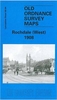


Rochdale West 1908
Rochdale West in 1908 in a fascinating series of reproductions of old Ordnance Survey plans in the Alan Godfrey Editions, ideal for anyone interested in the history of their neighbourhood or family. Selected towns in Great Britain and Ireland are covered by maps showing the extent of urban development in the last decades of the 19th and early 20th century.In this title: the map covers the western part of Rochdale, extending from Manchester Road and the Art Gallery westward to Broadhalgh, and from Falinge Fold southward to Sparth Bottoms Road. Features include cricket ground, Falinge Park, St Edmund's church, Bankside Mill, Sunny Bank Mills, gas works, Mitchell Hey, Mitchell Hey Mills, Standard Mill, Brimrod Mill, Oakenrod Hall, cemetery, tramways and depot, Lenny Barn,
Mellor Street Mill, Spotland Bridge, St Clement's church, football ground, Passmonds, Cutgate, Broadhalgh. On the reverse are street directory entries for Bury Road, Edenfield Road, Spotland Road. About the Alan Godfrey Editions of the 25
Mellor Street Mill, Spotland Bridge, St Clement's church, football ground, Passmonds, Cutgate, Broadhalgh. On the reverse are street directory entries for Bury Road, Edenfield Road, Spotland Road. About the Alan Godfrey Editions of the 25
Product Description
Reviews/Comments
Add New
Intelligent Comparison
Archived Product
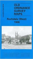
Rochdale West 1908 Stanfords
£3.50
Archived Product
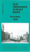
Rochdale 1908 Stanfords
£3.50
Archived Product
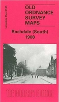
Rochdale South 1908 Stanfords
£3.50
Archived Product
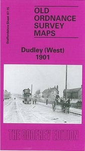
Dudley West 1901 Stanfords
£3.50
Archived Product
Rochdale South West & Sudden 1908 Stanfords
£2.95
Vouchers
No voucher codes found.
Do you know a voucher code for this product or supplier? Add it to Insights for others to use.
Do you know a voucher code for this product or supplier? Add it to Insights for others to use.
 Denmark