
 United Kingdom
 France
 Germany
 Netherlands
 Sweden
 USA
USA
 Italy
Italy
 Spain
Spain
More From Contributor


Mallorca - Walk And Eat
Pocket-sized full-colour guide, designed for short-break holidays. Describes walks and excursions for all-comers, with recommended restaurants en route serving local dishes (with sample menus and recipes). Other sections: planning your trip, getting around, food shopping (including health food), local markets, glossary, web sites.
Product Description
Reviews/Comments
Add New
Intelligent Comparison
Archived Product

Corsica - Walk And Eat Stanfords
£7.99
Archived Product

Madeira - Walk And Eat Stanfords
£8.99
Archived Product

Mallorca Wallk: Walk & Eat Stanfords
£8.99
Archived Product
Nice - Walk And Eat Stanfords
£8.99
Archived Product
Nice - Walk And Eat Stanfords
£8.99
Archived Product

Kefalonia Walk And Eat Stanfords
£8.99
Archived Product
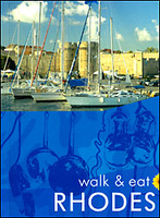
Rhodes - Walk And Eat Stanfords
£8.99
Archived Product
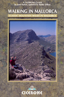
Mallorca Walking Stanfords
£15.95
Vouchers
No voucher codes found.
Do you know a voucher code for this product or supplier? Add it to Insights for others to use.
Do you know a voucher code for this product or supplier? Add it to Insights for others to use.
 Denmark