
 United Kingdom
 France
 Germany
 Netherlands
 Sweden
 USA
USA
 Italy
Italy
 Spain
Spain
More From Contributor


London Visitors' Map
Indexed map of central London extending from Hoxton in the north-east to South Kensington in the south-west. An inset shows most of the bus routes serving the area and on the reverse is a slightly larger scale extract from the centre of the area - from Mayfair to The City of London.Indexed for selected streets, hotels and selected attractions, sites of interest, theatres, shops, markets and tube & railway stations. A small inset map shows the attractions of Greenwich.London undergound map on reverse.
Product Description
Reviews/Comments
Add New
Intelligent Comparison
Archived Product
London Visitors' Map Stanfords
£2.50
Archived Product

London A-Z Visitors` Map Stanfords
£3.50
Archived Product
Ireland Visitors' Map Stanfords
£4.99
Archived Product
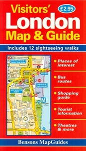
London Visitors` Map And Guide Stanfords
£2.95
Archived Product
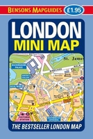
London Mini Map Stanfords
£1.95
Archived Product

Londonist Mapped Stanfords
£16.99
Archived Product

London Music Map Stanfords
£8.99
Archived Product
London Street Map Stanfords
£2.50
Vouchers
No voucher codes found.
Do you know a voucher code for this product or supplier? Add it to Insights for others to use.
Do you know a voucher code for this product or supplier? Add it to Insights for others to use.
 Denmark