
 United Kingdom
 France
 Germany
 Netherlands
 Sweden
 USA
USA
 Italy
Italy
 Spain
Spain
More From Contributor


Izmir Tourist Plan
Izmir Tourist Plan from Mepmedya is a street plan of the city. Shows main streets, urban transport and many places of interest, and includes a road map of Izmir Province. Map legend in English and Turkish. Street plan Major and secondary roads and main streets are named; and many more streets are shown but not named. Railway lines, tramways and local light rail services are displayed with stations, and local bus stations are marked. Ferry terminals and harbours are shown, and local ferry routes displayed.Local districts are named and demarcated, many places of interest are annotated on the map. These include: hotels, museums and parks; public buildings, emergency services and university buildings; and sports and entertainment venues. The most important sites are numbered, with
descriptions and photography appearing on the reverse of the map.The scale of the street plan is not shown. Road map Also includes a large road map giving an overview of Izmir Province at 1:300, 000. Motorways, secondary roads and many minor roads are shown, as are railway lines and stations, airports, ferry routes and major harbours. Mountain passes are displayed alongside an indication of their altitude.Major towns and cities and many smaller towns and villages are marked, with an indication of their administrative importance.Relief shading defines the terrain, mountain ranges are named and spot heights are shown for major peaks. The main lakes, rivers and dams of the province are marked and named, and waterfalls, caves and springs are also displayed.The mapping is annotated
with numerous places of interest. These range from ancient ruins, castles and historic sites, places of worship, caravanserai and Turkish baths, to national parks, ski centres and marinas.

Product Description
Reviews/Comments
Add New
Intelligent Comparison
Archived Product

Lima Tourist Plan Stanfords
£9.99
Archived Product

Bodrum Tourist Plan Stanfords
£8.99
Archived Product
Paris Tourism Plan Stanfords
£2.99
Archived Product
Cusco Tourist Plan Stanfords
£10.50
Archived Product
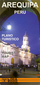
Arequipa Tourist Plan Stanfords
£9.99
Archived Product
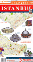
Istanbul Tourist Plan Stanfords
£6.95
Archived Product
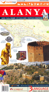
Alanya Tourist Plan Stanfords
£6.95
Vouchers
No voucher codes found.
Do you know a voucher code for this product or supplier? Add it to Insights for others to use.
Do you know a voucher code for this product or supplier? Add it to Insights for others to use.
 Denmark