
 United Kingdom
 France
 Germany
 Netherlands
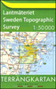
 Sweden
 USA
USA
 Italy
Italy
 Spain
Spain
More From Contributor
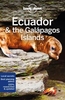


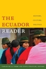


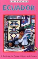
Ecuador In Focus
With spectacular colonial architecture, dramatic landscapes and unique wildlife Ecuador is one of the most popular tourist destinations in South America. However rising activism and controversy over the impact of oil companies in the Jungle mean that this is a nation with an uncertain future.About this series:Given the turbulent history of many Central American and Latin American countries, travellers need as much information as they can get in order make the most of a visit. These illustrated titles offer up-to-date coverage of the main historical, economic, political, social and the environmental issues affecting a country. Published by the Latin America Bureau, an independent research group working to broaden public understanding of issues of human rights and social and economic
justice in Latin America and the Caribbean.
justice in Latin America and the Caribbean.

Product Description
Reviews/Comments
Add New
Intelligent Comparison
Archived Product
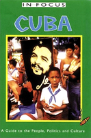
Cuba In Focus Stanfords
£7.99
Archived Product

Qatar In Focus Stanfords
£14.95
Vouchers
No voucher codes found.
Do you know a voucher code for this product or supplier? Add it to Insights for others to use.
Do you know a voucher code for this product or supplier? Add it to Insights for others to use.
 Denmark