
 United Kingdom
 France
 Germany
 Netherlands
 Sweden
 USA
USA
 Italy
Italy
 Spain
Spain
More From Contributor


Dover South 1897
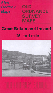
Dover South in 1897 in a fascinating series of reproductions of old Ordnance Survey plans in the Alan Godfrey Editions, ideal for anyone interested in the history of their neighbourhood or family. The map is packed with information despite two drawbacks: The Castle and Western Heights are left blank for security reasons, both being in military use at the time. But the map covers the area from Biggin Street southward to the harbour and has much fascinating detail. Features include the Priory, Harbour and Town stations, the Harbour, Granville Basin, Wellington Basin, Pier (under construction), Promenade Pier, Waterloo Crescent, Marine Parade, East Cliff Terrace, Granville Gardens, Market Square, St James church, Clarendon Street, Christ Church, tramways. The map will be of
special interest to transport historians showing a dock area that has changed so much.About the Alan Godfrey Editions of the 25” OS SeriesSelected towns in Great Britain and Ireland are covered by maps showing the extent of urban development in the last decades of the 19th and early 20th century. The plans have been taken from the Ordnance Survey mapping and reprinted at about 15 inches to one mile (1:4, 340). On the reverse most maps have historical notes and many also include extracts from contemporary directories. Most maps cover about one mile (1.6kms) north/south, one and a half miles (2.4kms) across; adjoining sheets can be combined to provide wider coverage.FOR MORE INFORMATION AND A COMPLETE LIST OF ALL AVAILABLE TITLES PLEASE CLICK ON THE SERIES LINK.
special interest to transport historians showing a dock area that has changed so much.About the Alan Godfrey Editions of the 25” OS SeriesSelected towns in Great Britain and Ireland are covered by maps showing the extent of urban development in the last decades of the 19th and early 20th century. The plans have been taken from the Ordnance Survey mapping and reprinted at about 15 inches to one mile (1:4, 340). On the reverse most maps have historical notes and many also include extracts from contemporary directories. Most maps cover about one mile (1.6kms) north/south, one and a half miles (2.4kms) across; adjoining sheets can be combined to provide wider coverage.FOR MORE INFORMATION AND A COMPLETE LIST OF ALL AVAILABLE TITLES PLEASE CLICK ON THE SERIES LINK.

Product Description
Reviews/Comments
Add New
Intelligent Comparison
Archived Product

Derby South 1899 Stanfords
£3.50
Archived Product
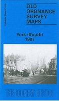
York South 1907 Stanfords
£3.50
Archived Product

Hertford South 1897 Stanfords
£3.50
Archived Product
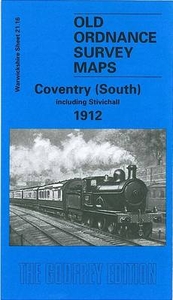
Coventry South 1912 Stanfords
£3.50
Archived Product
Doncaster South 1901 Stanfords
£3.50
Archived Product

Doncaster South 1928 Stanfords
£3.50
Archived Product
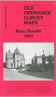
Bury South 1907 Stanfords
£2.95
Archived Product
Bury South 1907 Stanfords
£3.50
Vouchers
No voucher codes found.
Do you know a voucher code for this product or supplier? Add it to Insights for others to use.
Do you know a voucher code for this product or supplier? Add it to Insights for others to use.
 Denmark