
 United Kingdom
 France
 Germany
 Netherlands
 Sweden
 USA
USA
 Italy
Italy
 Spain
Spain
More From Contributor


Chilterns - Kiddiwalks
Twenty safe walks in the glorious Chiltern countryside. Simple routes with not too many hills, the walks are between 1 and 5 miles in length and offer plenty of variety with nature trails, woods caves and castle ruins to explore, and each walk features a halt for refereshments.

Product Description
Reviews/Comments
Add New
Intelligent Comparison
Archived Product
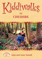
Cheshire - Kiddiwalks Stanfords
£7.99
Archived Product
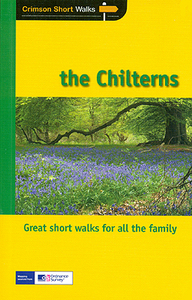
Chilterns - Short Walks Stanfords
£6.99
Vouchers
No voucher codes found.
Do you know a voucher code for this product or supplier? Add it to Insights for others to use.
Do you know a voucher code for this product or supplier? Add it to Insights for others to use.
 Denmark