
 United Kingdom
 France
 Germany
 Netherlands
 Sweden
 USA
USA
 Italy
Italy
 Spain
Spain
More From Contributor
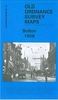


Bolton North-East 1908
Bolton North-East in 1908 in a fascinating series of reproductions of old Ordnance Survey plans in the Alan Godfrey Editions, ideal for anyone interested in the history of their neighbourhood or family. Selected towns in Great Britain and Ireland are covered by maps showing the extent of urban development in the last decades of the 19th and early 20th century.In this title: the map covers the north east outskirts of Bolton, stretching from Turner Bridge and eastward to Harwood. Although still a semi rural landscape, there is much of interest and features include Turner Bridge Mill, Mill Hill Bleach Works, tramways, Eastfield Farm, Bradshaw Brook, Undershore Bleach Works, Thicketford Bridge, Firwood Bleach Works, Firwood Fold, Harwood, Christ Church, Breightmet Hill West and
East. On the reverse are street directory entries for Ainsworth Lane, Eldon Street, Horsa Street, Moorfield Grove, Thicketford Road, Tonge Moor Road. About the Alan Godfrey Editions of the 25
East. On the reverse are street directory entries for Ainsworth Lane, Eldon Street, Horsa Street, Moorfield Grove, Thicketford Road, Tonge Moor Road. About the Alan Godfrey Editions of the 25

Product Description
Reviews/Comments
Add New
Intelligent Comparison
Archived Product

Bolton North-East 1908 Stanfords
£3.50
Archived Product

Bolton North 1908 Stanfords
£3.50
Archived Product
Bolton East 1908 Stanfords
£2.95
Archived Product
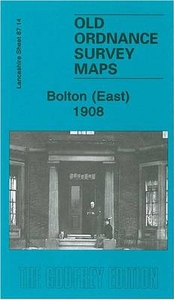
Bolton East 1908 Stanfords
£3.50
Archived Product

Bristol North-East 1902 Stanfords
£3.50
Archived Product
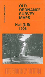
Hull North East 1908 Stanfords
£3.50
Archived Product
Croydon North-East 1895 Stanfords
£3.50
Archived Product
Atherton North East 1907 Stanfords
£2.95
Vouchers
No voucher codes found.
Do you know a voucher code for this product or supplier? Add it to Insights for others to use.
Do you know a voucher code for this product or supplier? Add it to Insights for others to use.
 Denmark