
 United Kingdom
 France
 Germany
 Netherlands
 Sweden
 USA
USA
 Italy
Italy
 Spain
Spain
More From Contributor


Albania F&B
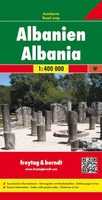
Albania at 1:400, 000 on an indexed road map from Freytag & Berndt, with coverage also including the whole of Montenegro and Kosovo, large part of Macedonia, and within Greece extending south to Ioannina and Trikala.Topography is shown by relief shading with colouring for woodlands and names of mountain ranges. National park and other protected areas are highlighted. Road network gives driving distances on many local routes and shows border crossings. Railway lines are included, also local airports and ferry ports on the Adriatic. Symbols highlight various places of interest including campsites, golf courses, etc. Within Kosovo most location are shown with dual place names (Albanian and Serbian). The map has latitude and longitude lines at intervals of 30’. The index is on the
reverse. Map legend includes English.
reverse. Map legend includes English.

Product Description
Reviews/Comments
Add New
Intelligent Comparison
Archived Product

Albania ITMB Stanfords
£9.99
Archived Product
Albania Stanfords
£9.50
Archived Product
Alaska F&B Stanfords
£10.99
Archived Product
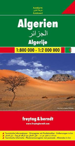
Algeria F&B Stanfords
£10.99
Vouchers
No voucher codes found.
Do you know a voucher code for this product or supplier? Add it to Insights for others to use.
Do you know a voucher code for this product or supplier? Add it to Insights for others to use.
 Denmark