
 United Kingdom
 France
 Germany
 Netherlands
 Sweden
 USA
USA
 Italy
Italy
 Spain
Spain
More From Contributor


OS Explorer Pembrokeshire Coast Map Set
OS Explorer Maps OL35 & OL36 The Pembrokeshire Coast National Park is made up of a relatively narrow strip of coastline in south-west Wales. With a varied landscape of rugged cliffs, sandy beaches, low wooded estuaries and rolling hills, it contains a large number of Sites of Special Scientific Interest and Nature Reserves. As well as walking on footpaths and National Trails, you can enjoy surfing, coasteering, sea angling and wildlife watching. This map bundle contains both OS Explorer Maps for the National Park with a discount of 20% compared to the cost of buying them individually, and is available in both standard and weatherproof 'Active' versions. Whatever activities you plan on your visit, you can make the most of it with Ordnance Survey maps.

Product Description
Reviews/Comments
Add New
Intelligent Comparison
Archived Product

OS Explorer Pembrokeshire Coast Map Set Ordnance Survey
£23.98
Archived Product

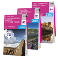
OS Landranger Pembrokeshire Coast Map Set Ordnance Survey
£21.57
Archived Product
OS Landranger Pembrokeshire Coast Map Set Ordnance Survey
£35.97
Archived Product

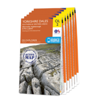
OS Explorer Yorkshire Dales Map Set Ordnance Survey
£43.13
Archived Product
OS Explorer Yorkshire Dales Map Set Ordnance Survey
£71.92
Available

OS Explorer Pennine Journey Map Set Ordnance Survey
£50.34
Available

OS Explorer Pennine Journey Map Set Ordnance Survey
£83.94
Vouchers
No voucher codes found.
Do you know a voucher code for this product or supplier? Add it to Insights for others to use.
Do you know a voucher code for this product or supplier? Add it to Insights for others to use.
 Denmark