-
Home
-
Contributors
-
International
-
Account
-
Information
More From Contributor
Includes:: some tougher terrain such as the limestone gorge of Middleton Dale which contains some of the most impressive caves in the area including the dramatic Castle Rock. As an example of the strange disappearing rivers of the limestone peak, at Waterfall Swallet the water disappears into potholes underground, before reappearing near Stoney Middleton village as thermal springs. One of the most beautiful places in all of the Peak District is the landscape of Dovedale, Manifold & the Hamps Valley, also on the White Peak map. As the gritstone has been worn away by erosion, the ancient sea floor has been revealed. Whatever outdoor pursuits you’re planning, from cycling & sightseeing, to riding & rambling, you’ll find something to cater for every outdoor interest on the OS Explorer map bundle of the Peak District. Highlights: Castle rock, Middleton Dale, Waterfall Swallet, Thermal spring at Middleton Stoney, Kinder Scout, The Pennine Way, Edale, & the Derwent Valley Heritage Way. Buy both maps as a set & save 20%. ...
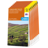
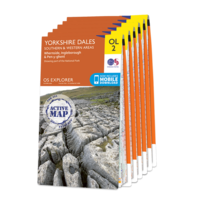
Includes:: sheet numbers OL2: Yorkshire Dales southern & western areas OL19: Howgill Fells & Upper Eden Valley OL30: Yorkshire Dales northern & central areas OL31: North Pennines OL41: Forest of Bowland & Ribblesdale OL43: Hadrian's Wall 307: Consett & Derwent Reservoir With each map in this set you will receive a code for use on your i OS or Android smartphone or tablet. ...
Includes:: sheet numbers OL2: Yorkshire Dales southern & western areas OL19: Howgill Fells & Upper Eden Valley OL30: Yorkshire Dales northern & central areas OL31: North Pennines OL41: Forest of Bowland & Ribblesdale OL43: Hadrian's Wall 307: Consett & Derwent Reservoir With each map in this set you will receive a code for use on your i OS or Android smartphone or tablet. ...

OS Explorer Pembrokeshire Coast Map Set
This page now acts as a permanent archive for this product. Add more information using the comments box below to ensure it can still be found by future generations.
Use our search facility to see if it is available from an alternative contributor.
- Availability: Out Of Stock
- Supplier: Ordnance Survey
- SKU: 1627
Product Description
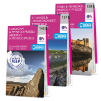
OS Explorer Maps OL35 & OL36 The Pembrokeshire Coast National Park is made up of a relatively narrow strip of coastline in south-west Wales. With a varied landscape of rugged cliffs, sandy beaches, low wooded estuaries & rolling hills, it contains a large number of Sites of Special Scientific Interest & Nature Reserves. As well as walking on footpaths & National Trails, you can enjoy surfing, coasteering, sea angling & wildlife watching. This map bundle contains both OS Explorer Maps for the National Park with a discount of 20% compared to the cost of buying them individually, & is available in both standard & weatherproof ' Active' versions. Whatever activities you plan on your visit, you can make the most of it with Ordnance Survey maps.
Reviews/Comments
Add New
Intelligent Comparison
Price History
Vouchers
Do you know a voucher code for this product or supplier? Add it to Insights for others to use.


 United Kingdom
 France
 Germany
 Netherlands
 Sweden
 USA
USA
 Italy
Italy
 Spain
Spain


 Denmark